ed. 2026/8/16
Very dangerous (risk of collapse, hornets, aggressive dogs, snakes)
This post features fewer crazy pictures or paths and instead focuses more on the development of the area. After all, the goal of this blog is also to gather knowledge. It’s astonishing how few sources about the area can still be found. Newspaper reports are slowly being removed from archives.
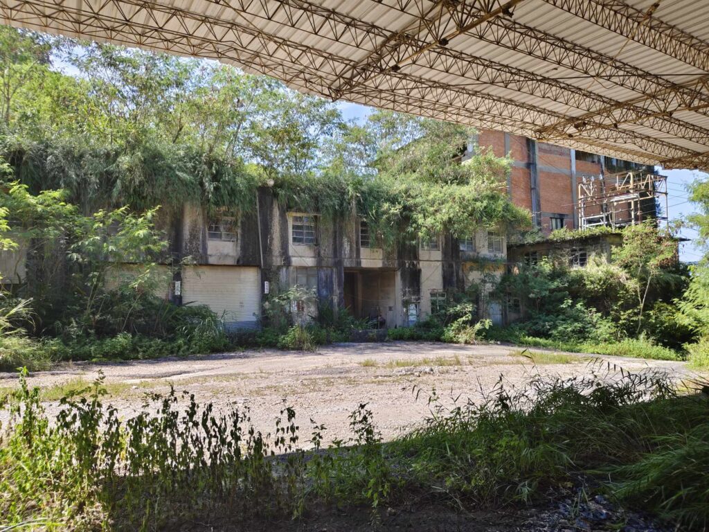
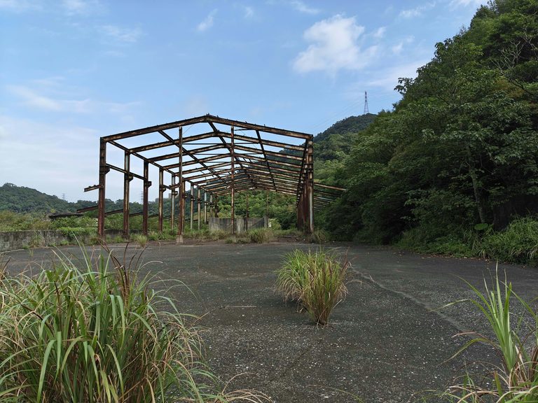
(Area for maschine maintenance, car depot on the backside, oil depots)
The Indigenous People
It was an Atayal area, specifically the Mabudu Settlement in Jinshan Village (馬武督部落). Originally called “Wudu” (武都) in the Atayal language, the name means “a place where people and goods converge.” The settlement has a history of over 50 years. During the Japanese occupation, it was renamed “Mabudu,” a name that has been used ever since. The people of Mabudu are believed to belong to the Atayal tribe’s Maliba system from Ren’ai Township, Nantou County. Due to population growth, they migrated northward. By the late Qing Dynasty, they had established their own settlement, with their community primarily based in Yufeng Village, Jianshi Township.
In search of new hunting grounds, they moved from Yufeng to Jiale, Meihua, and Shuitian, eventually crossing the 85 Mountain Range into what is now Guanxi Township. The Mabudu settlement originally encompassed areas now known as Yushan and Jinshan in Guanxi, as well as parts of Fuxing. Over time, they formed alliances with other major Atayal groups, establishing themselves as one of the most influential indigenous communities in the region.
After World War II, Mabudu became part of Jinshan Village in Guanxi Township and remains the only Atayal settlement of the “Maliguang” group not included in indigenous townships such as Jianshi or Fuxing. However, due to severe outbreaks of disease, the settlement suffered significant losses, leading to its decline. One could also assume that they were simply displaced by Taiwanese settlers to make way for new stone quarries. Taiwanese society, for the most part, is still not fully ready to acknowledge its historical responsibility toward the indigenous people. Even the government, in this regard, largely limits itself to issuing polite statements.
The History of Mining
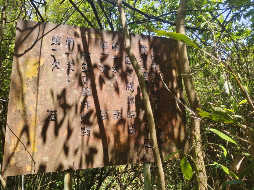
The history of limestone mining in Yushan Village dates back to 1942, when Nanfang Cement Industrial Co., Ltd. was established in Zhudong, utilizing limestone extracted from Yushan Village. After the Nationalist government took control, three companies—Taiwan Cement, Asia Cement, and Yushan Stone Mining—successively operated in the area, turning it into one of the most significant limestone mining regions in western Taiwan. Blasting was used for extraction. First, workers drilled deep holes into the rock, where they placed the charges. Warning signs with time indications can still be seen today.
Yushan Village’s wealth lay in its abundant limestone resources. More than half of the local residents were engaged in mining or related industries, and the village flourished thanks to the mining sector. Back in the day, limestone extracted from Yushan Village was transported via an aerial cableway down to the Neiwan railway branch line, which then carried it to the cement factory in Zhudong. In 1997, the government encouraged the cement industry to shift eastward, leading to a gradual cessation of mining in the west. Although mining was a tough job, it was the primary source of income. Over the years, landslides occasionally buried farmland, causing inconvenience, but residents endured these hardships for their livelihood. In recent years, disasters have become rare, and for Yushan’s residents, the presence of the mines remains deeply intertwined with daily life, making it difficult to separate the two. Even at Yushan Elementary School, an old cable car is displayed, telling the story of the community’s mining heritage. An interesting video:
The Struggles of an Evolving Village
The operation was quite disruptive for the residents living below. There were loud blasting noises, ground vibrations, and cracks in the soil and walls of the houses, located only 250 to 400 meters below.
It closed 2001 (?). Today, most of the village’s residents make a living by farming. However, fluctuating agricultural prices and declining demand for cement have reduced local job opportunities. Many young people have left to work elsewhere, leaving their farmland untended. Some have even sold their land to golf courses. At one point, the government proposed turning the abandoned Taiwan Cement mining site—part of Forestry Bureau’s Compartment 144—into an ecological education park, raising hopes among the residents. However, after years of bureaucratic restructuring, responsibility was transferred to the local government, which lacked the necessary funds, leaving the project in limbo. Disappointed, the villagers turned to another possibility—the reopening of limestone mining reserves—as a means to create job opportunities and encourage young people to return. However, on September 24, 2009, under intense public pressure, the Mining Bureau once again designated all western limestone mining areas as mining reserve zones, dashing the hopes of Yushan Village residents. Because access is partially blocked and otherwise difficult to find, very few people venture into the area today. In fact, it could almost be an Instagram icon. However, visiting is dangerous, so I will not disclose its location.
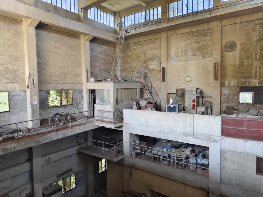
(maintenance, four store building)
Quellen:
https://guanxi.hsinchu.gov.tw/cp.aspx?n=1822
https://e-info.org.tw/node/48200
In 1997, stricter laws came into effect, leading to the closure of the western region for mining. As a result, 12 mining areas were shut down. In 2013, this decision was partially reversed. In 2015, the company unsuccessfully attempted to reopen.
Description
A former access road, now blocked after the residential area, still allows a few farmers to reach their old fields with permission from the company. Semi-wild dogs are now more effective as guards than the aging security guard. Here lie the old workstations, including facilities used for crushing stones and transporting them via ropeway. Five large buildings remain standing. Although the electrical systems have been removed, the machines themselves are still clearly visible. From a distance, the massive launch station for the ropeway and the conveyor belts is easy to spot. In the lower part of the actual production site near the guardhouse was the facility for the fully automated rope way. It had two cable ways, of which only two pylons remain today. Only a few machine halls and the enormous warehouse remain from this part.
In the upper part were the stone crushers — a total of three buildings. This is where the trucks delivered the stones, which were then crushed and transported down via impressive conveyor belts. Some sections have been used for loading from above. Washing facilities and control booths are disappearing into the undergrowth. The cable way’s starting structures are multi-story iron towers, heavily affected by rust, making them dangerous to enter. Some of the installations still have Chinese inscriptions.
The site lies deep in the mountains and has now become a stunningly beautiful place.
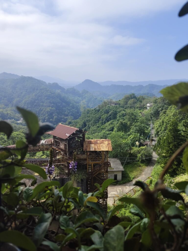
(View to the entrance and guard room)
Two well-preserved roads lead away from the main complex. Following them, one can see the scars left behind by the mining operations. With a bit of imagination, the stepped mining levels become apparent.
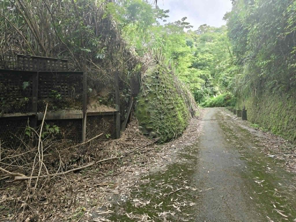
Smaller unpaved paths branch off from the main roads, leading to minor quarry sites. Some paths are heavily overgrown, but if you sense traces of the trail, you can still feel the concrete beneath your feet. Here, nature is reclaiming the land, forming small lakes.
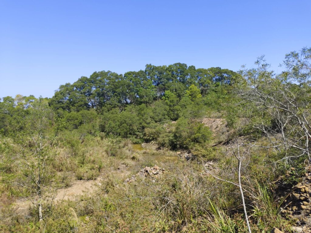
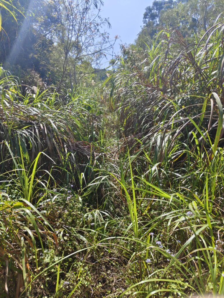
From old photographs, it can be seen that there were vast fields above, crisscrossed by roads — barren and empty until 20015. (https://www.youtube.com/watch?v=zoLwwCdeLmE)
An old trade route from the opposite ridge, later repurposed as a Japanese military patrol path, leads into the mining area. Very few remnants of the road remain, as if it had been adapted for motorcycle access at some point.
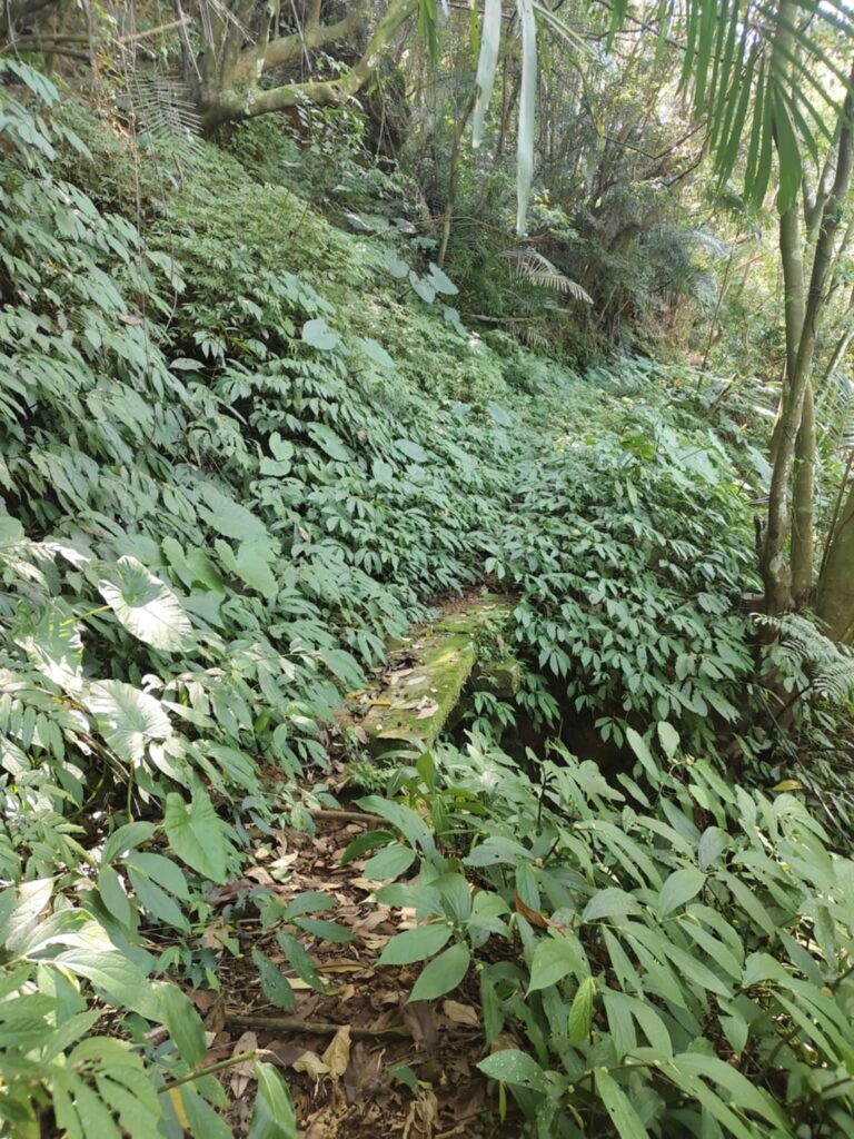
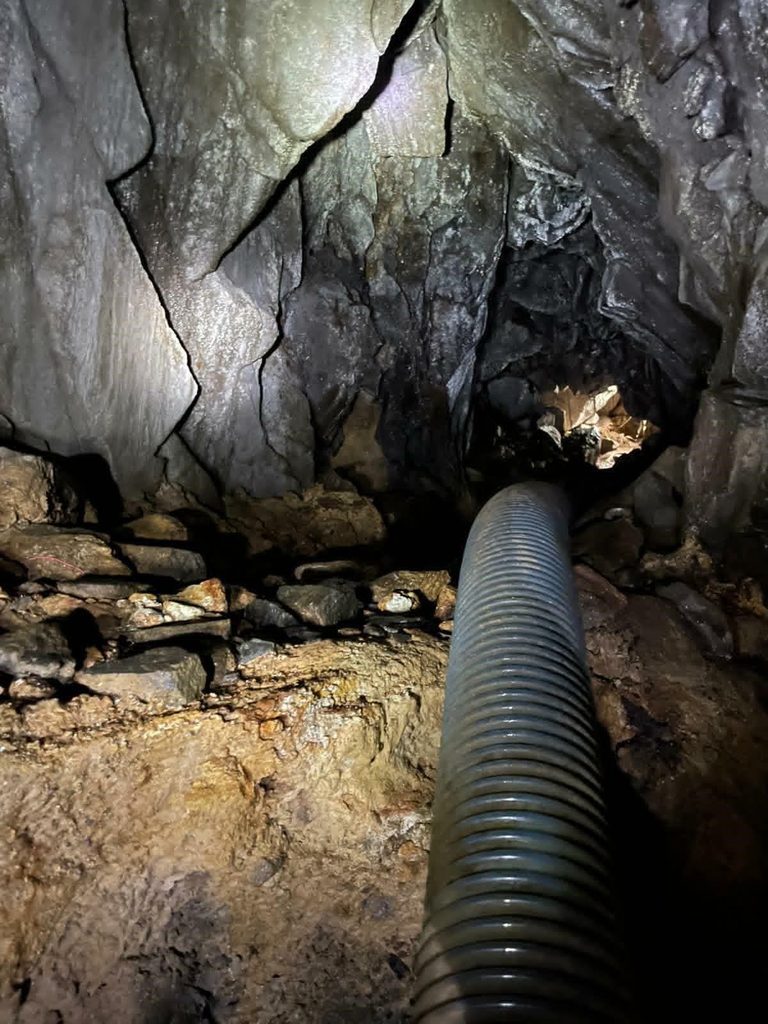
This path was once popular because it led to a cave, which has now been partially sealed off. The secondary entrance is difficult to locate, making it nearly invisible today. At the starting point of the trail, abandoned fields can still be seen. I won’t reveal the names of these paths—those who cannot find their way here on their own have no business being in this area. Seeing dogs with missing front paws suggests that hunting traps, possibly steel jaw traps, were once used here. Caution is advised. The route is partially undermined and runs high along the slopes. I spent over two hours exploring outside the buildings, repeatedly coming across deep quarries. The mining area must have been massive. Warning signs about falling rocks are posted everywhere, though they likely no longer serve much purpose.
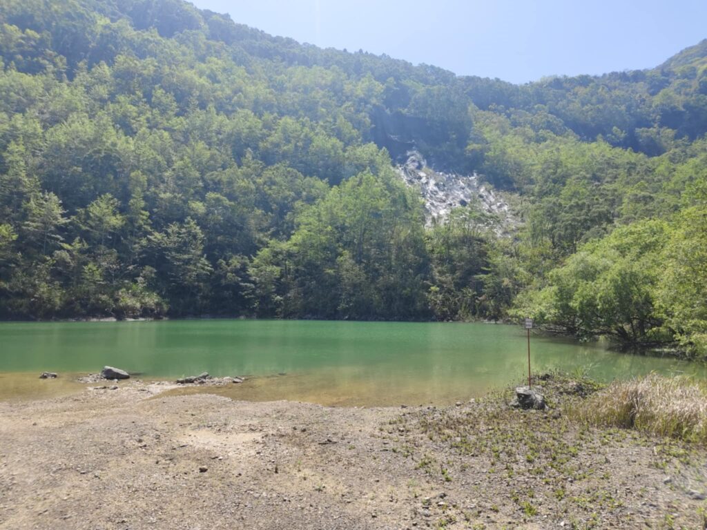
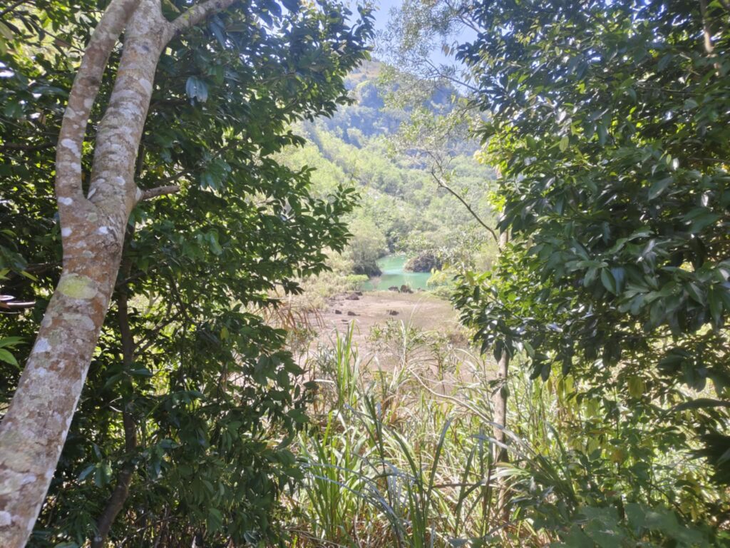
I will visit the area again, photograph nearby settlements with their traditional houses, and talk to the people there.
Ropeway conveyor in Zhudong
Few people know that remnants of the old ropeway conveyor from Yushan to Zhudong can still be found in Jhudong. You can see some of the remaining ropeway towers from a distance inside the cement factory, but it is impossible to enter the site.
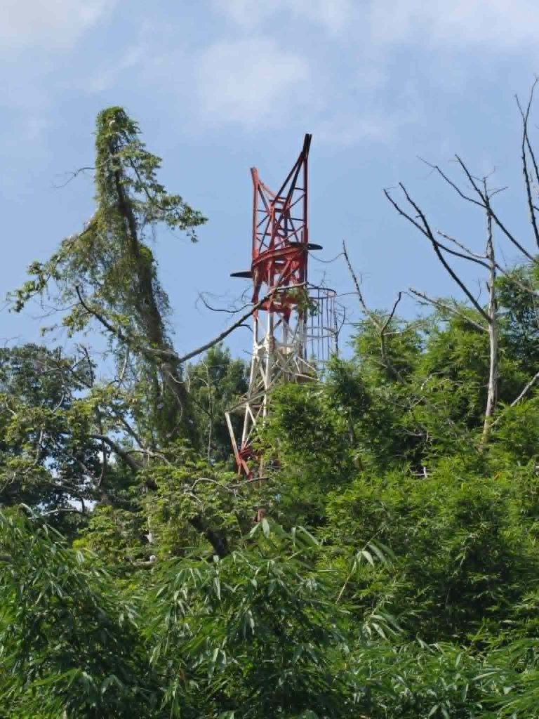
A security guard directed me to the rear of the factory. This must have been where the cableway ended in the past.
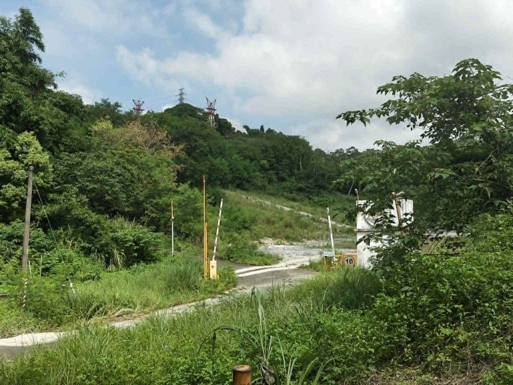
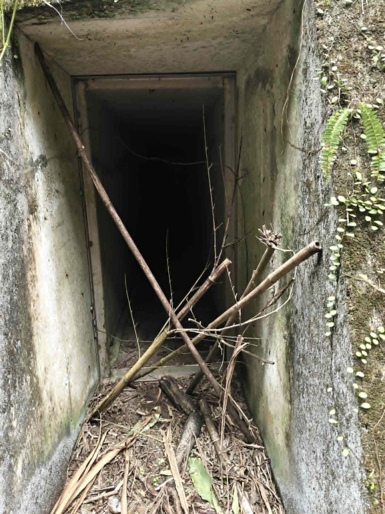
Next to them are bunker-like structures that, to me, make no sense.
(copyright Claudius Petzold)