edited: 2026/7/12
Very dangerous (risk of collapse, snakes)
Gongguan Tianyi Mine
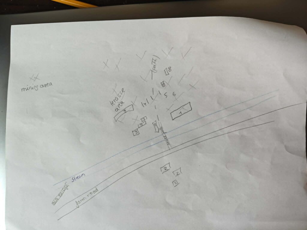
Gongguan Tianyi Mine (公館添益煤礦) is a forgotten mine in Miaoli, not shown on maps, with no signs or labels. I got the information from a Taiwanese postman. It is actually located close to a major road, but no one would ever drive into the small entrance. This time, I’ll describe things differently—namely, how I found the individual paths. Most of the time, you end up visiting a place two or more times. On the first visit, you try to get your bearings in an overgrown area. It sounds easy, but usually you don’t find the right way, so you sort through the photos at home and get a better idea. More difficult actions should never be done alone anyway. Let’s start with a sketch.
It looks just like one of the many unused former farm roads. After just a few minutes, you pass by buildings that at first glance look like decaying farm structures.
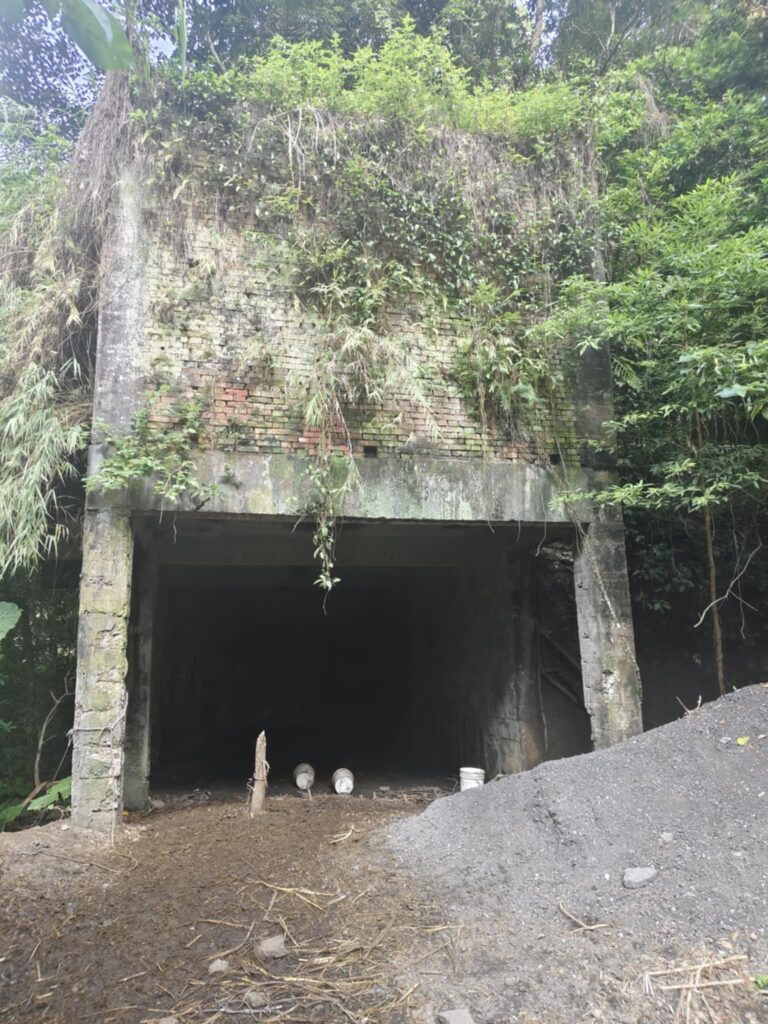
Only when you go inside do you realize for the first time that these are unloading stations (3). More about the transport system later.
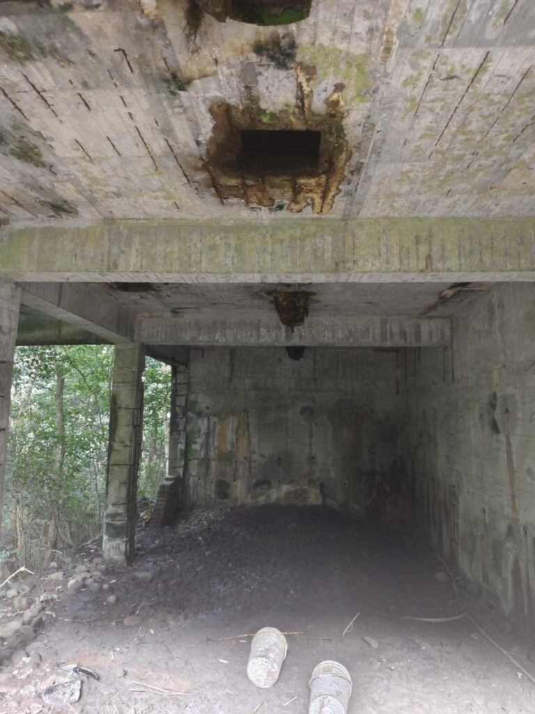
Now it began to intrigue me even more. It became clearer that the transport facility was not small.
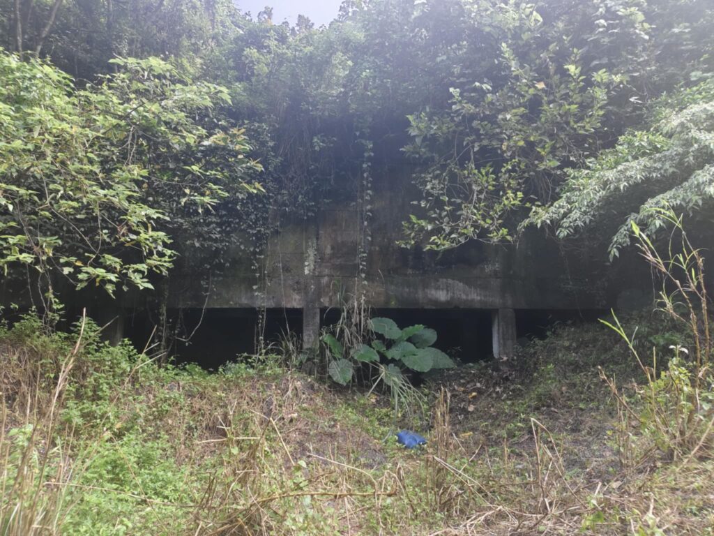
(3) I climbed around a bit, since I was still lacking a sense of orientation. Then, a larger administration building appears. Then, a larger administration building appears.
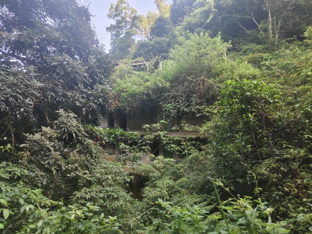
On my first visit, the access path was overgrown, and I had to cut it open with a knife. Only then was it possible to see the true size. (1)
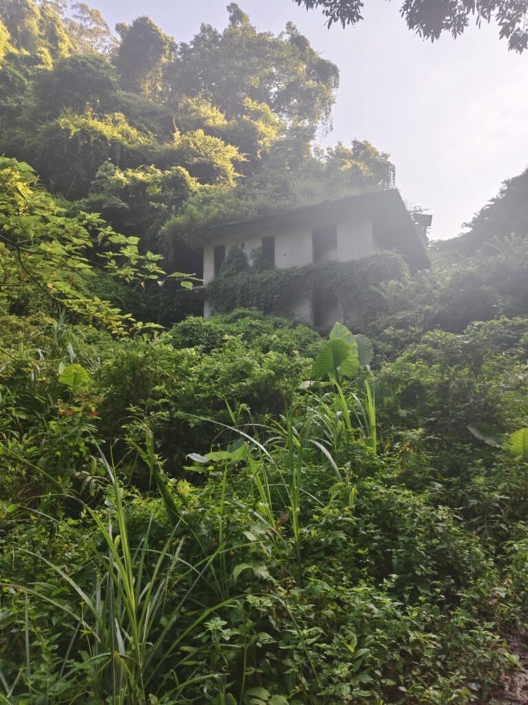
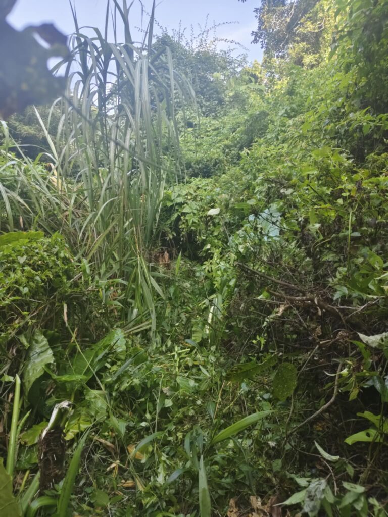
(after the job was done)
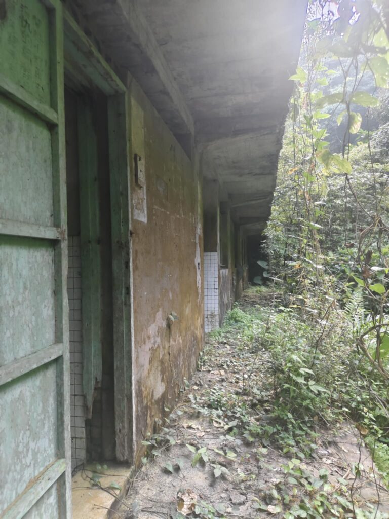
A picture of the building opposite (2). Much of the upper section has collapsed, most likely as a result of the road construction carried out later.
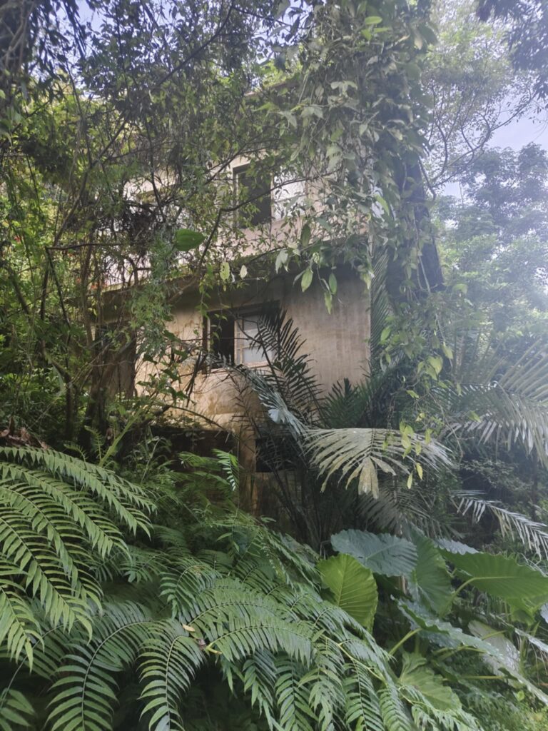
We walked the little path a little further uphill and saw the first mine entrance and the transport facility. This time it went better. We followed the old transport facilities and went into the shafts. The transport system (4) is still recognizable: the ruins begin at a collapsed tunnel, continuing on stilts toward the unloading station. Limping, I finally gave up. And later I returned with friends whose names must never be mentioned.
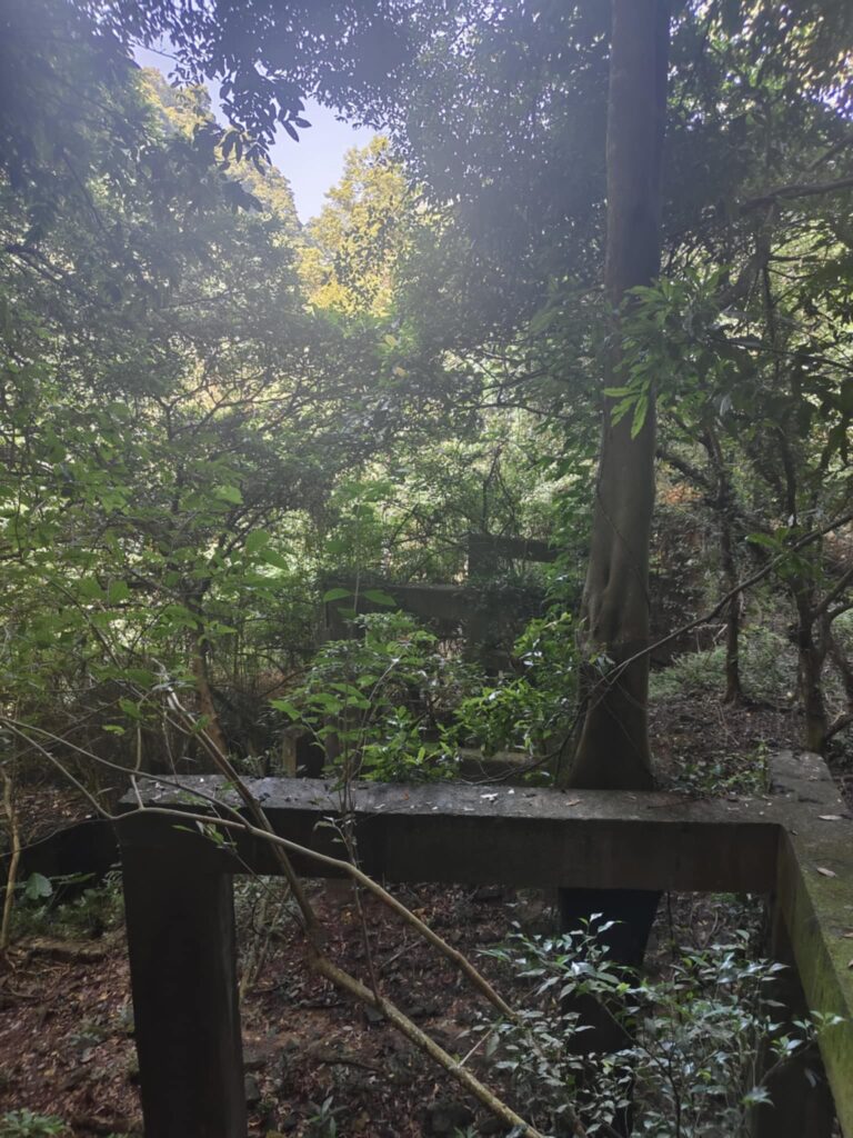
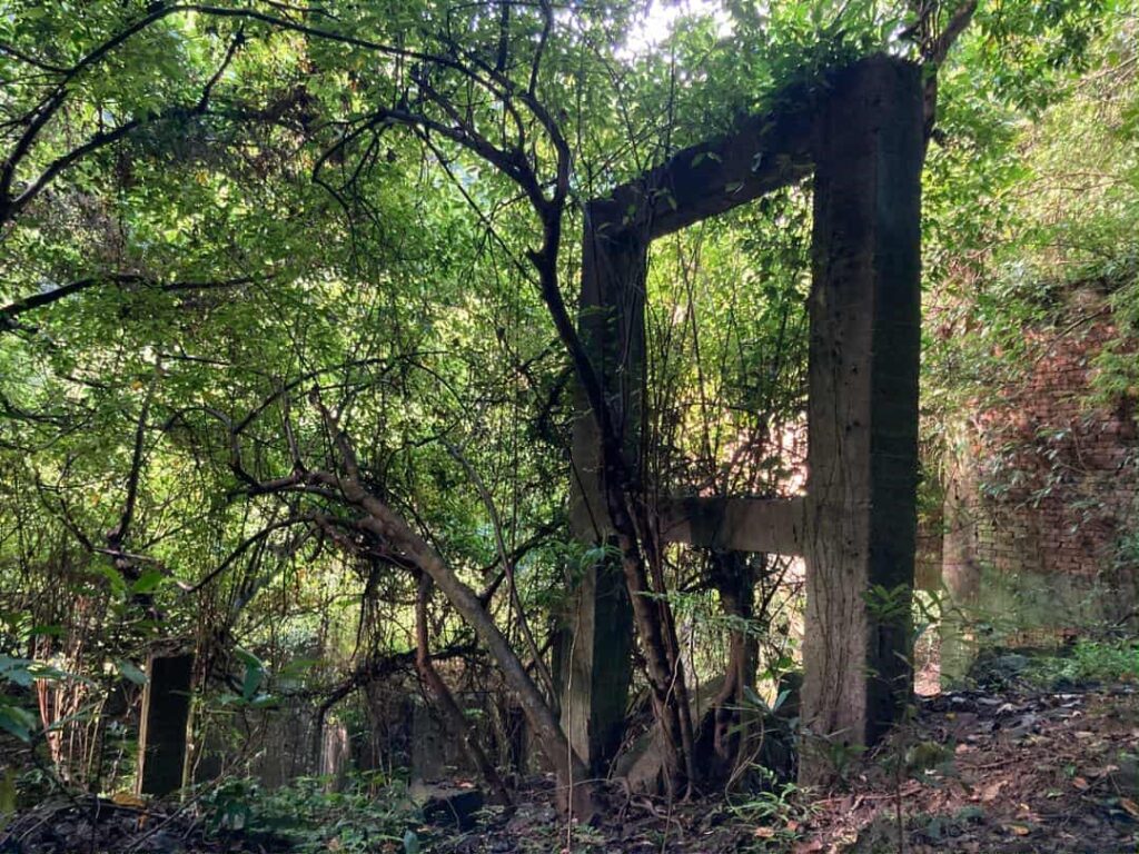
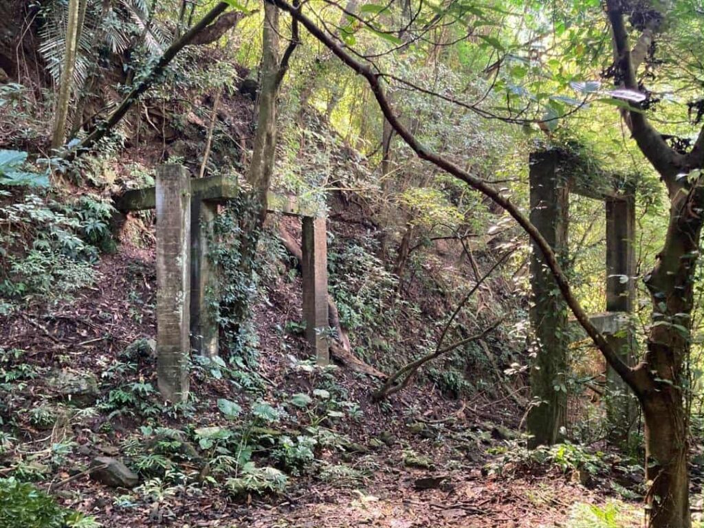
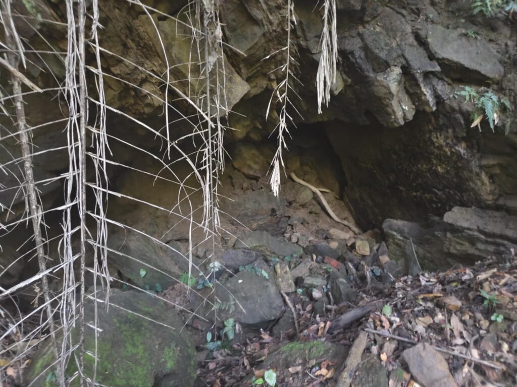
When I saw the collapsed tunnel, I felt frustrated, thinking: no success (6). More out of habit, I went into the adjacent building — which turned out to be a tunnel entrance. But, collapsed too (5).
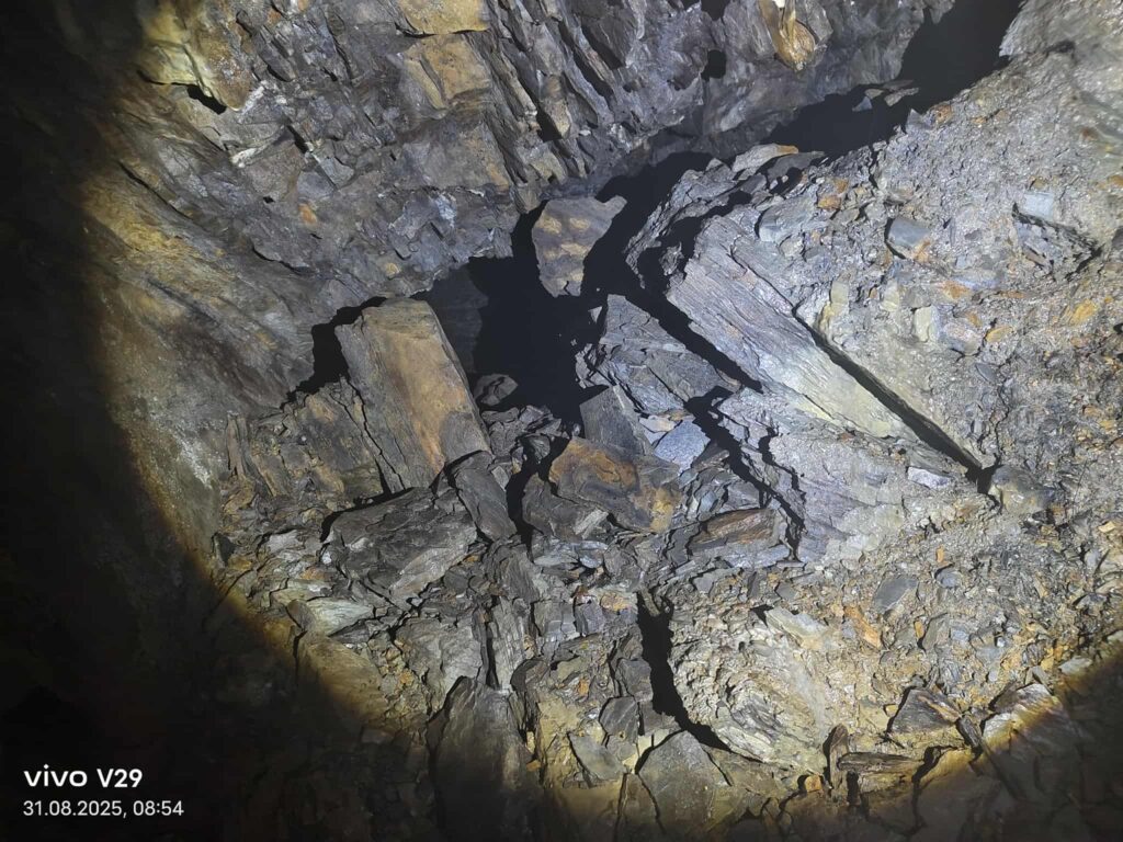
We continued uphill; the remnants of the road were still visible, and we came to a third entrance, which looked even less promising — but bingo.
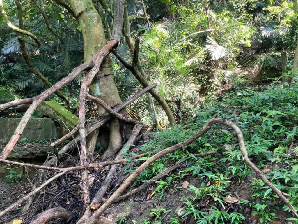
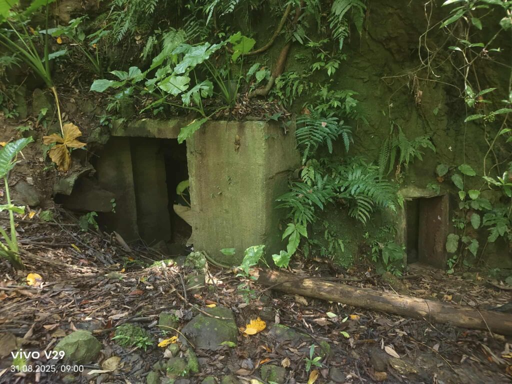
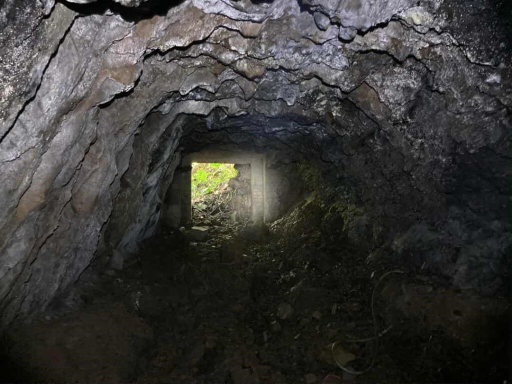
This is probably the deepest entrance I’ve ever entered (8). But it’s quite frightening. My friends, whose names must not be mentioned, and my son were whining, so I went on alone. I have to admit, I’m a bit girly—at some point, I got scared.
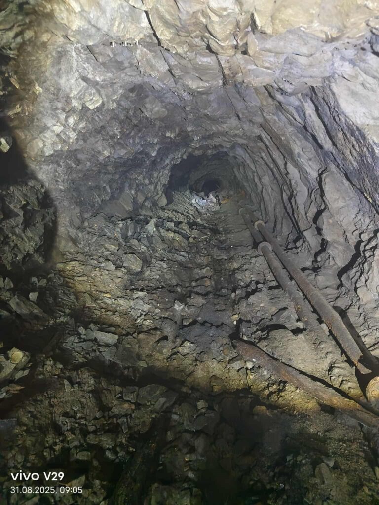
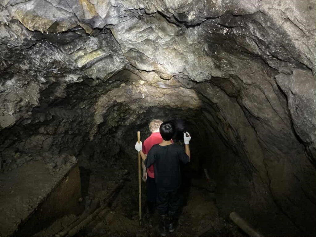
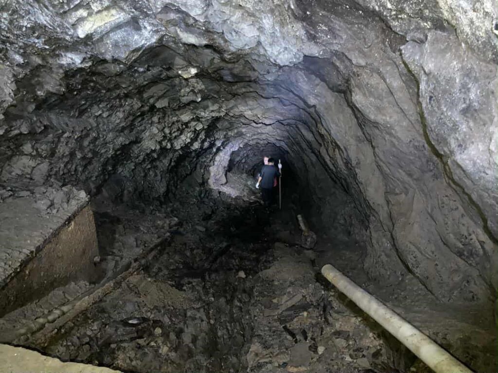
This is probably the deepest entrance I’ve ever entered. But it’s quite frightening. My friends, whose names must not be mentioned, and my son were zickig, so I went on alone. I have to admit, I’m a bit girly—at some point, I got scared. So now I’ve found other friends who have experience—the third visit is coming up.
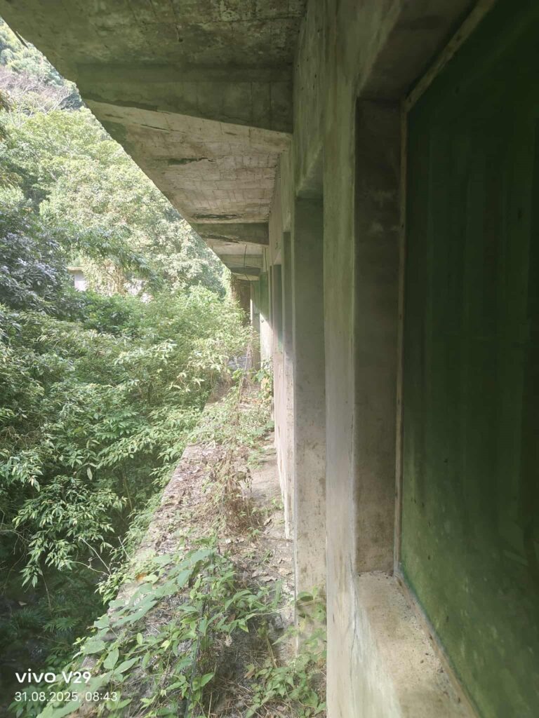
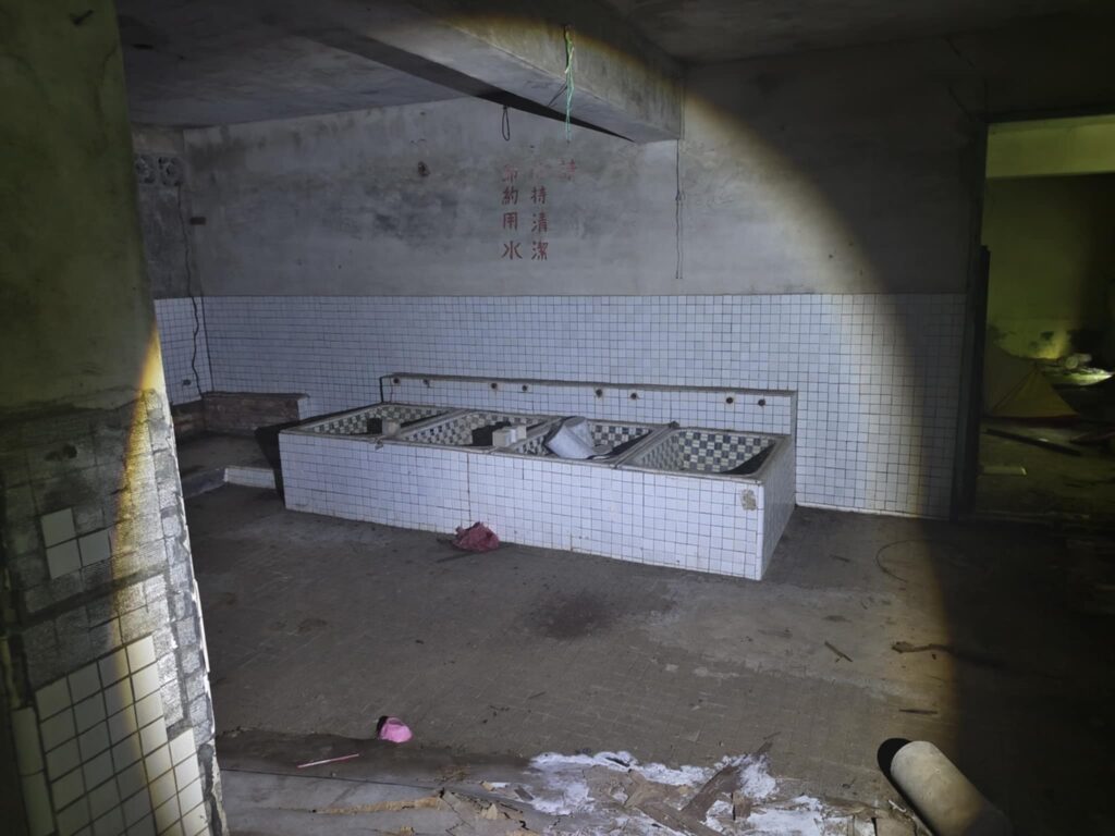
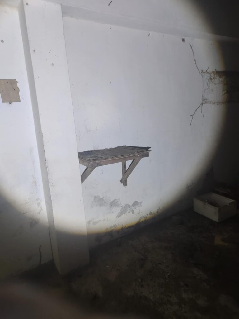
My unnamed friends were de-zickig, and we still went to the main building. This time, without any obstacles, I was able to climb to the upper floors. But it wasn’t that impressive; the concrete is crumbling, and on the river side there’s a risk of a deeper fall.
Last Visit in April 2026
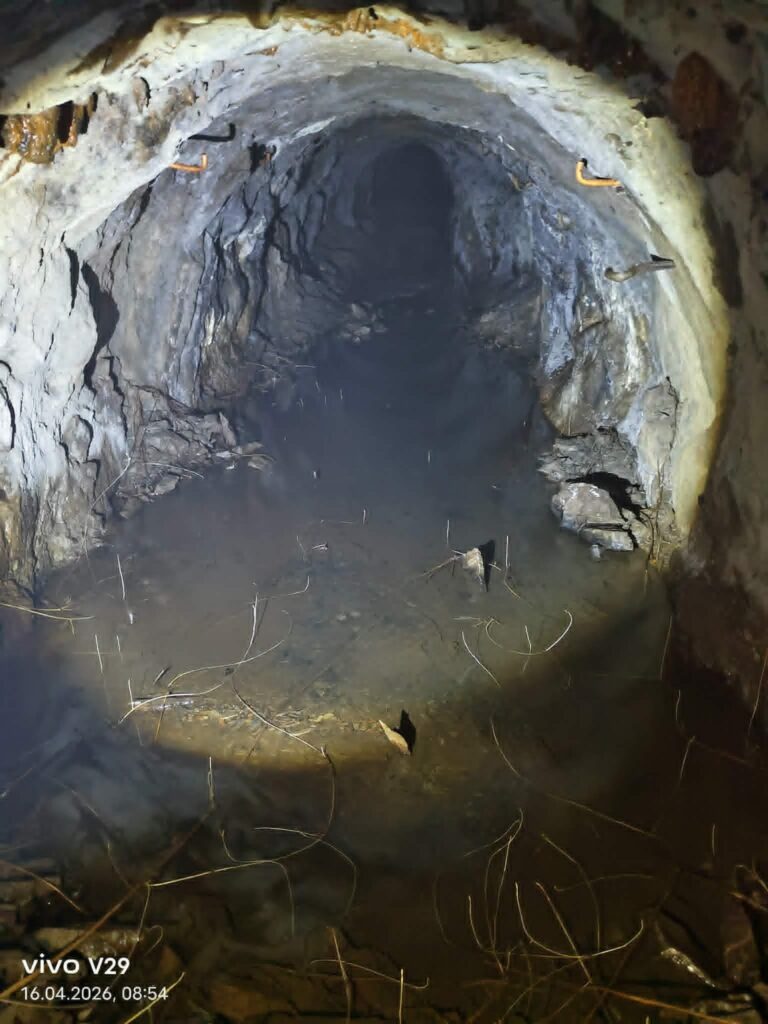
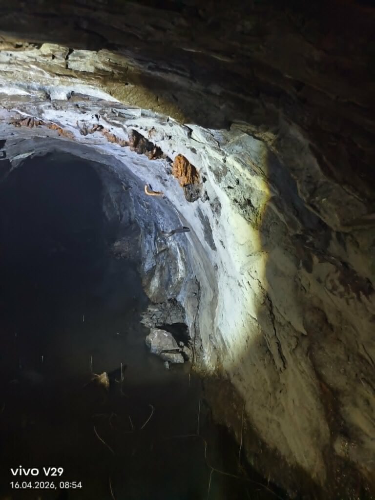
Alright, my Taiwanese research friend went in with me again. It was already a feeling of horror—I’m simply not made to be a mole. We entered and climbed down the first section. With every step downward, the atmosphere became more oppressive. Bats swarmed toward us, coming uncomfortably close. The smell of guano was disgusting. The “little sisters” clearly weren’t happy about our visit either.
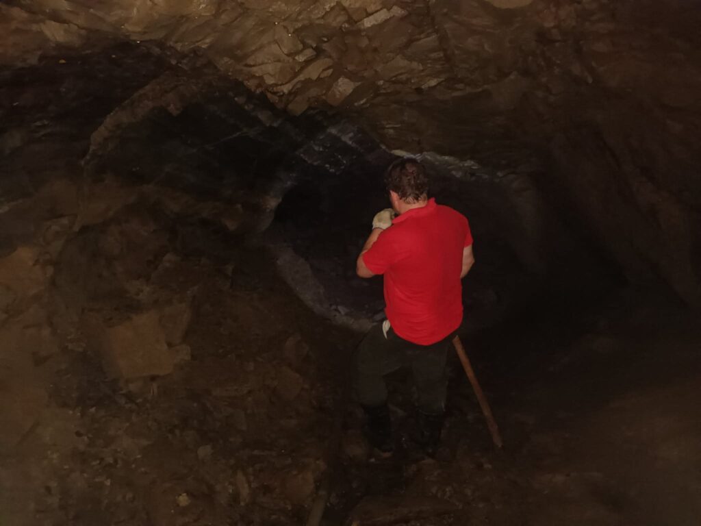
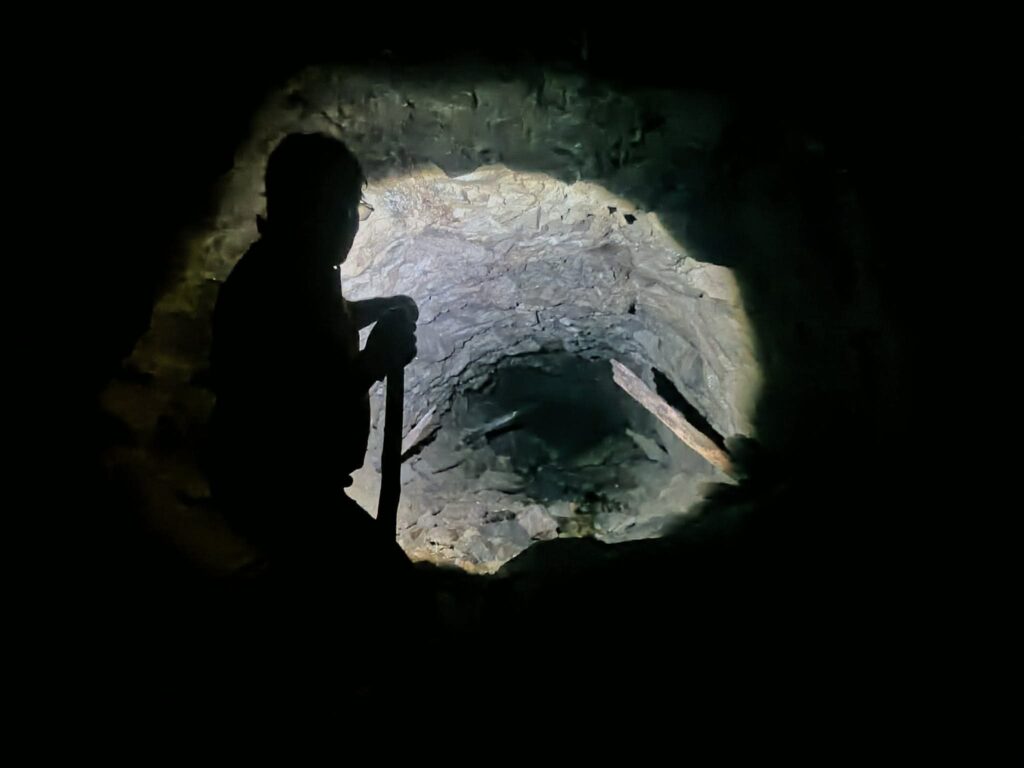
(Parts of the safety supports are broken.)
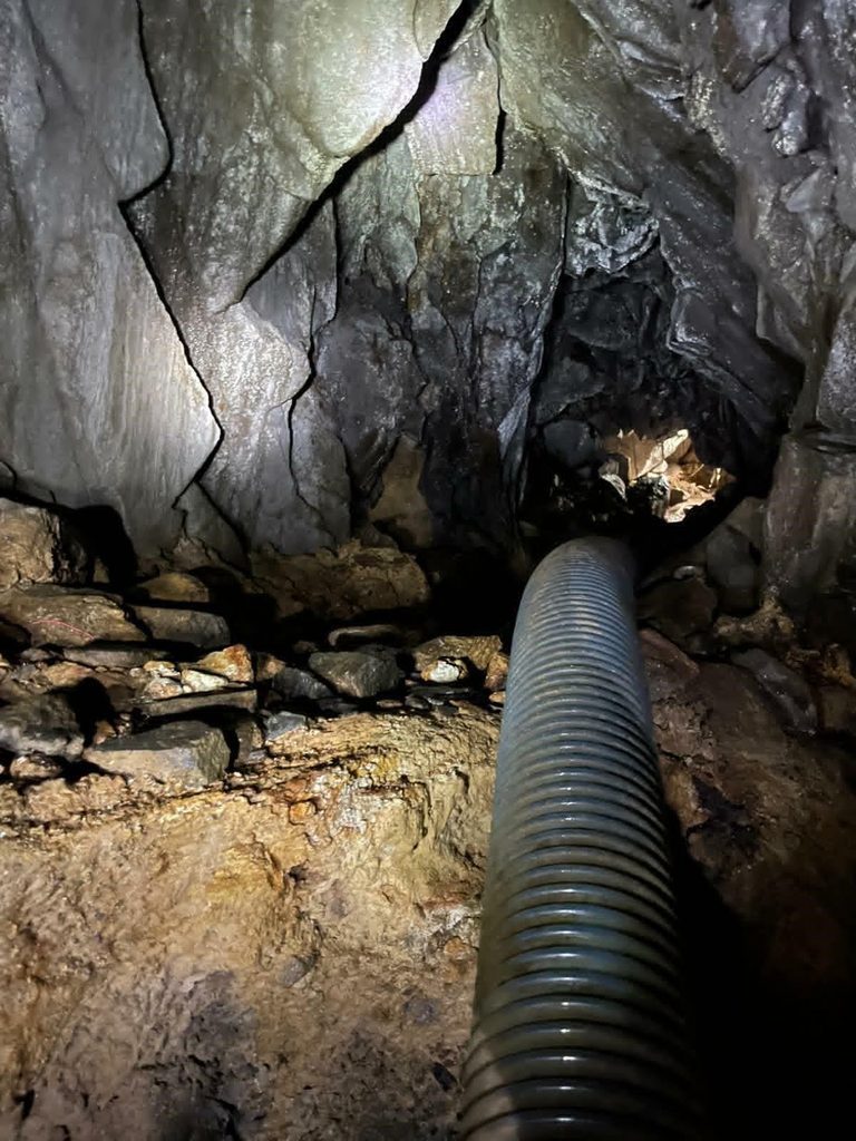
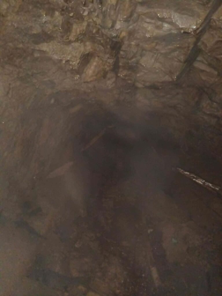
We kept descending. The path, covered in bat droppings and running water that turned the stones into a slippery slide, was not easy to walk. Old pipes lined the sides. We went as far as the collapse. I was incredibly relieved when I finally made it back outside. In the photos taken with flash, you can see how thick and dusty the air really is.
In Search of the Old Road
It started with the idea of tracing the old road on Google Maps. I wanted to continue following it.
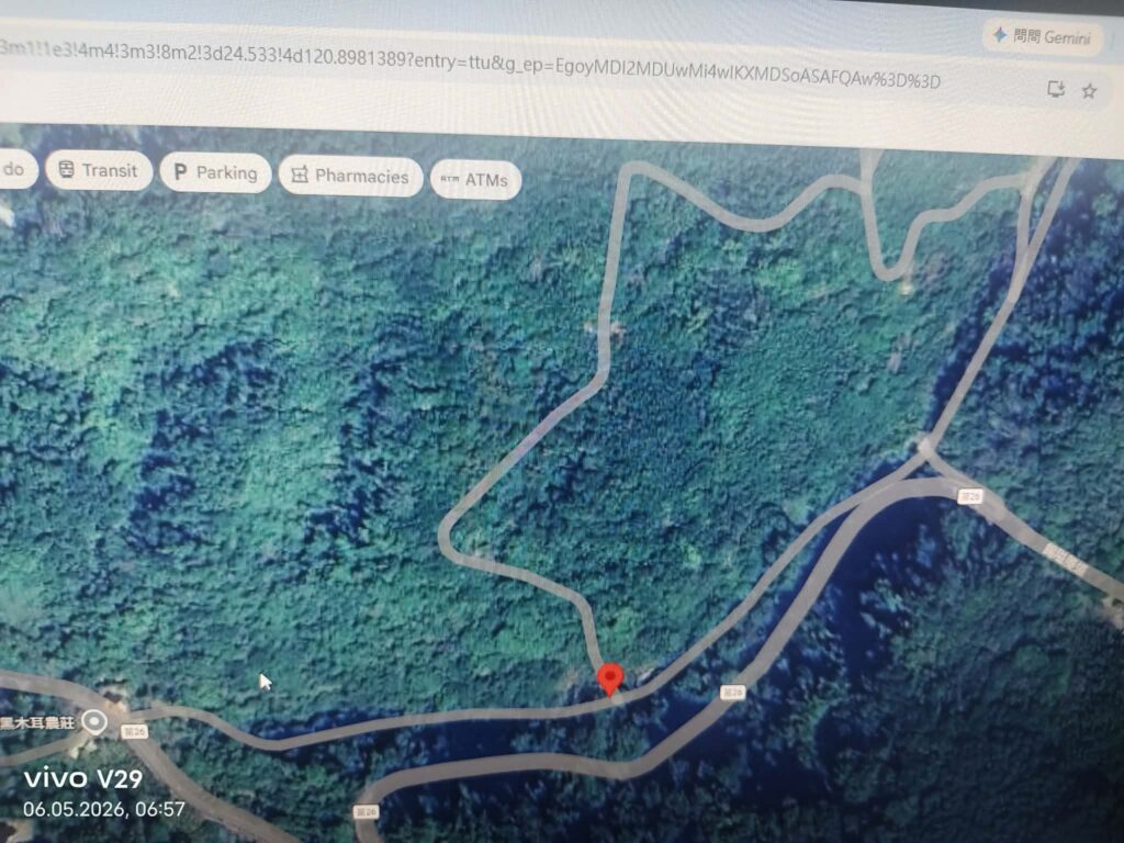
At first, I thought it would pass the mine entrance and the ventilation shaft on the right-hand side, so I followed what appeared to be the route because it looked very wide.
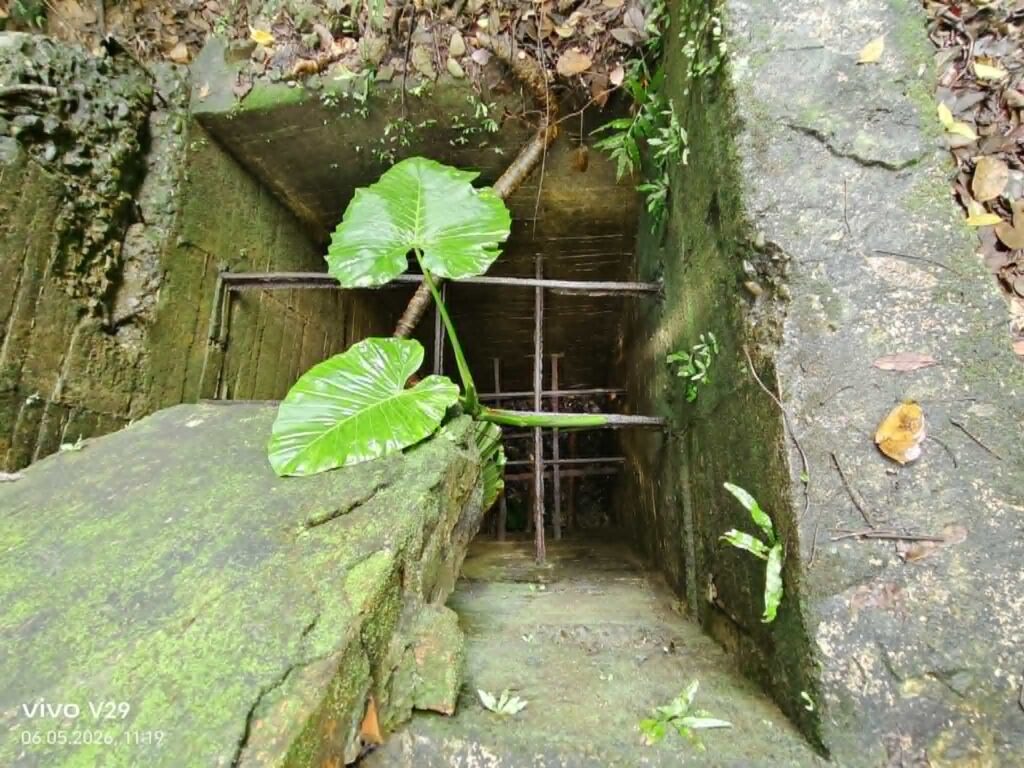
There was also a small building further along. (7)
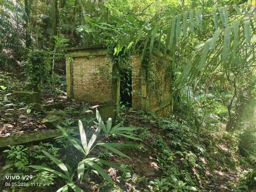
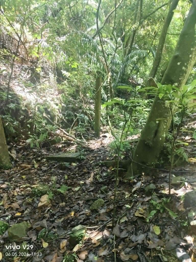
But no matter what I tried, I could not make any progress. At first, it looked like the remains of a road, but it turned out to be only an old plateau ending at a rock wall.
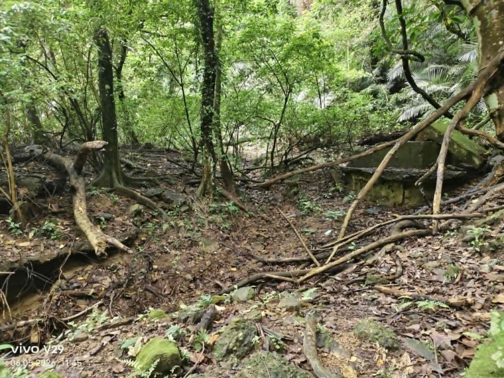
There was a crack in the rock wall, and the sharp smell of bat guano indicated the entrance to a shaft that I could not find. Above it, however, I could now see the remains of a path 5m above.
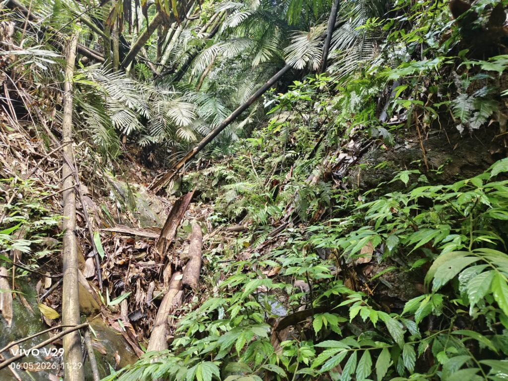
But the direction still did not match. According to the map, the road should have curved slightly to the left, yet again there was nothing. What I could clearly see, though, was that everything had once been arranged on different terraces.
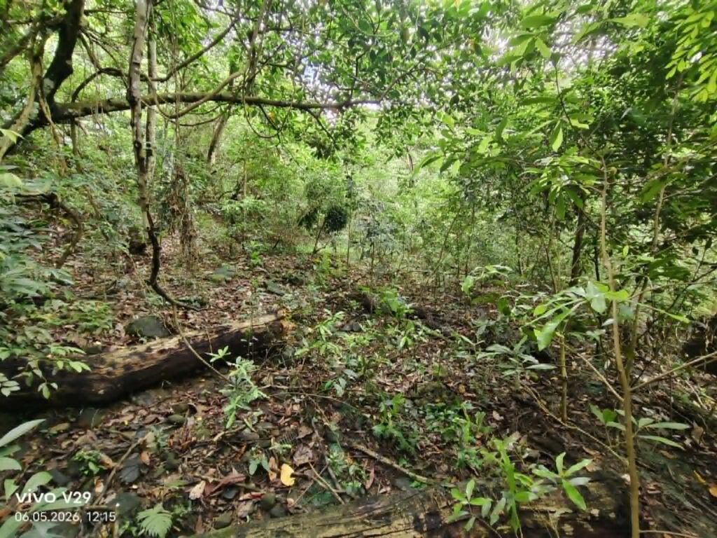
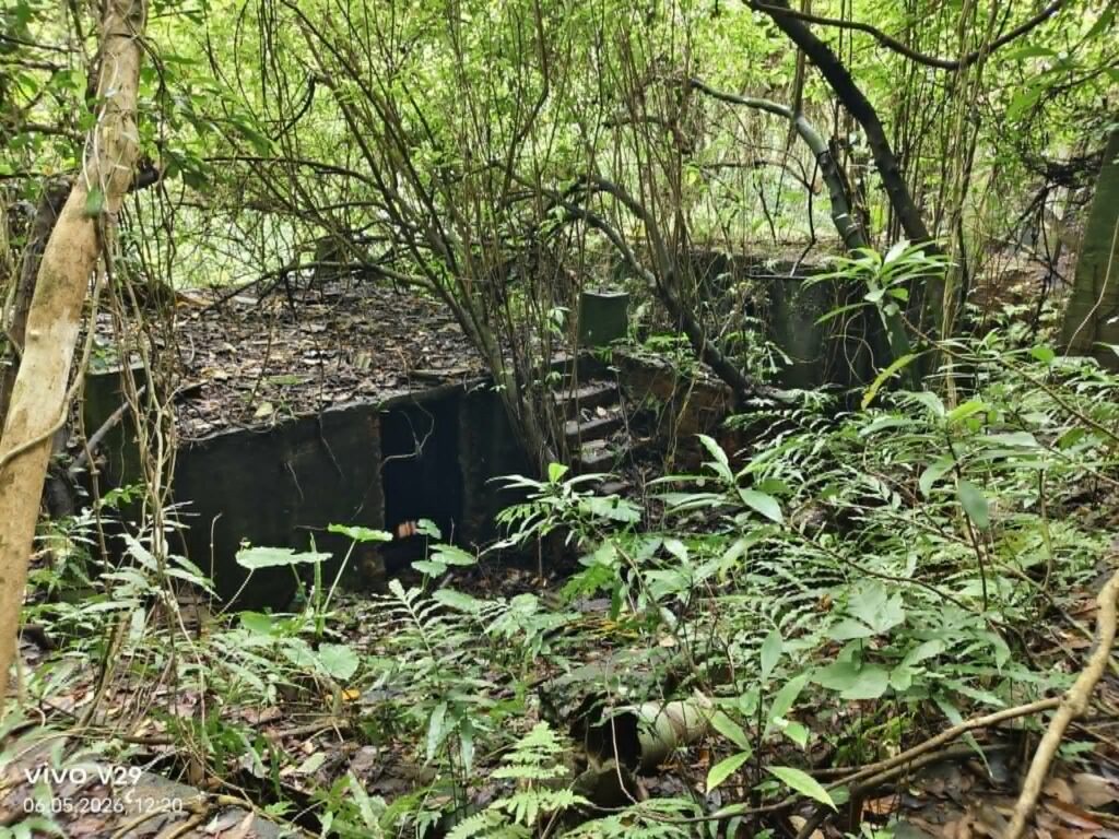
Then I came across a large building complex that I could not explain. From above and from the side, it looked like a foundation with a small staircase, but the entrance and the thin ceiling seemed to contradict that impression. It is also very long.
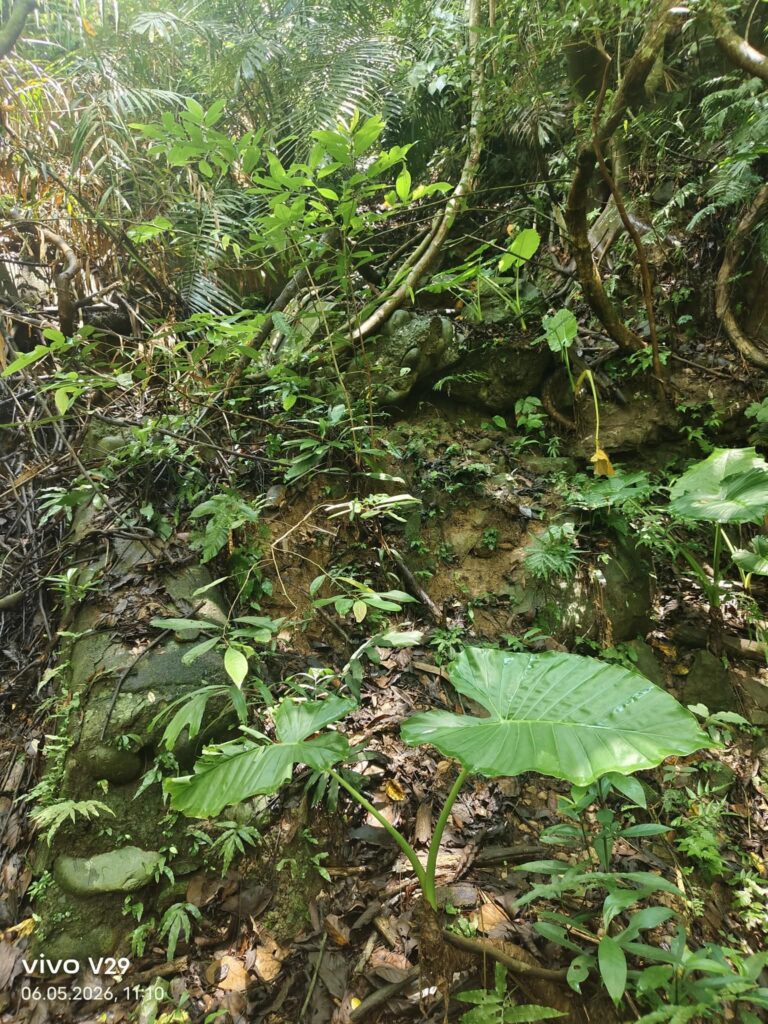
On the way back, I finally solved the problem. It was not a road at all, but only a small asphalt path. After three hours in the heat, however, I was too exhausted to continue, and my machete also broke.
About the area
The Chuhuangkeng coalfield lies on the western side of Nanzhuang Township. Its eastern boundary roughly follows the Shitan Valley between Zhihu in Shitan Township and Wenshui, while its western limit is around the hilly areas of Fuji and Sanyi. It extends from Ji Mountain in Sanyi Township in the north to Guandao Mountain in the south. The coalfield’s main geological structure is a narrow, elongated anticline running in a north-northeast direction, stretching about 22 kilometers. Taiwan’s oldest oil field, the Chuhuangkeng Oil Field, is located in the central part of this coalfield.
Due to geological constraints, the mining operations were all relatively small in scale. (9)
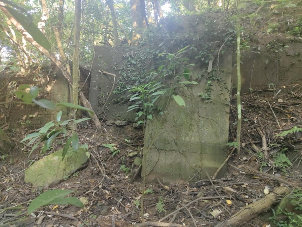
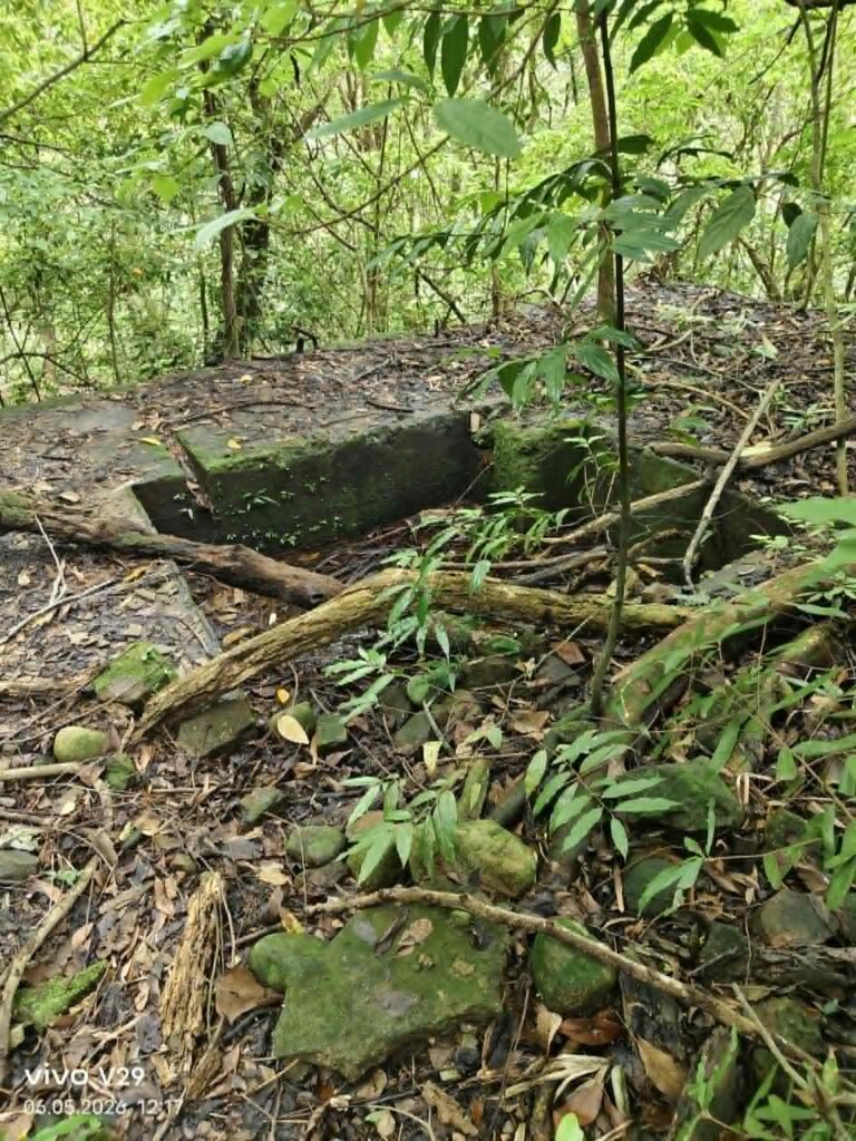
Within Gongguan Township, six mines with available records are known: Da Dongshan, Shuangxi, Tianshan, Fuxing, Tianyi, and Xingfu. Their mining areas were mainly located in Fuji Village, Nanhe Village, and Beihe Village. Further north, the Shuangxi Coal Mine in Mingfeng Village, Touwu Township, formed a continuation of this mining zone.
(source: https://tcmb.culture.tw/zh-tw/detail?id=559909&indexCode=Culture_Place&utm_source=chatgpt.com)
Xingfu Coal Mine, another shaft
This mine can be found neither on Google Maps nor on the usual websites. My Taiwanese research friend—who has far better technical skills than I do—searches old maps and compares them with topographic maps. Then he applies the good old method: searching, walking, and talking to people. We went there together and explored the area.
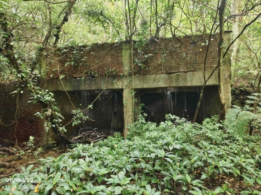
(End of the former road, transfer station)
At first, it was a long drive into nowhere. We stopped at an old farm and had to hike uphill for about 10 minutes. The road was clearly not from the mining era, but it was already in poor condition—probably a farm road built later. Suddenly, he said we needed to climb downwards. Even when he pointed it out to me, I couldn’t see anything at first. We climbed down, crossed a small creek, and then I saw the first huts, which didn’t look very promising. We initially entered the tunnel, but had to turn back because the water level was too high and the ground was extremely muddy. The tunnel itself, however, seems to be in good condition. We’re saving that for another visit after a long dry period.
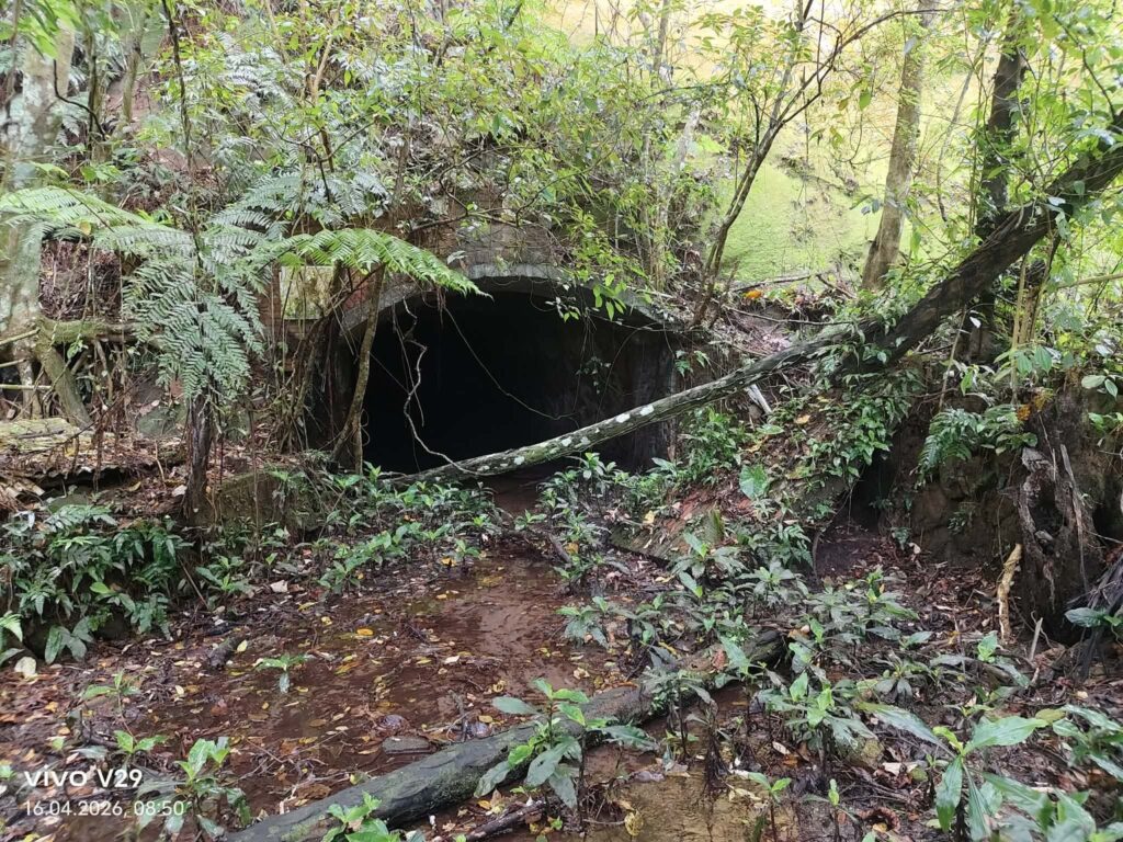
On the right side of the entrance, there are still remains of former buildings, though little is left.
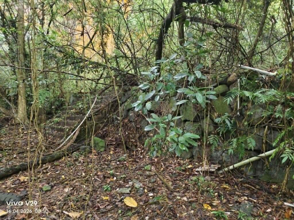
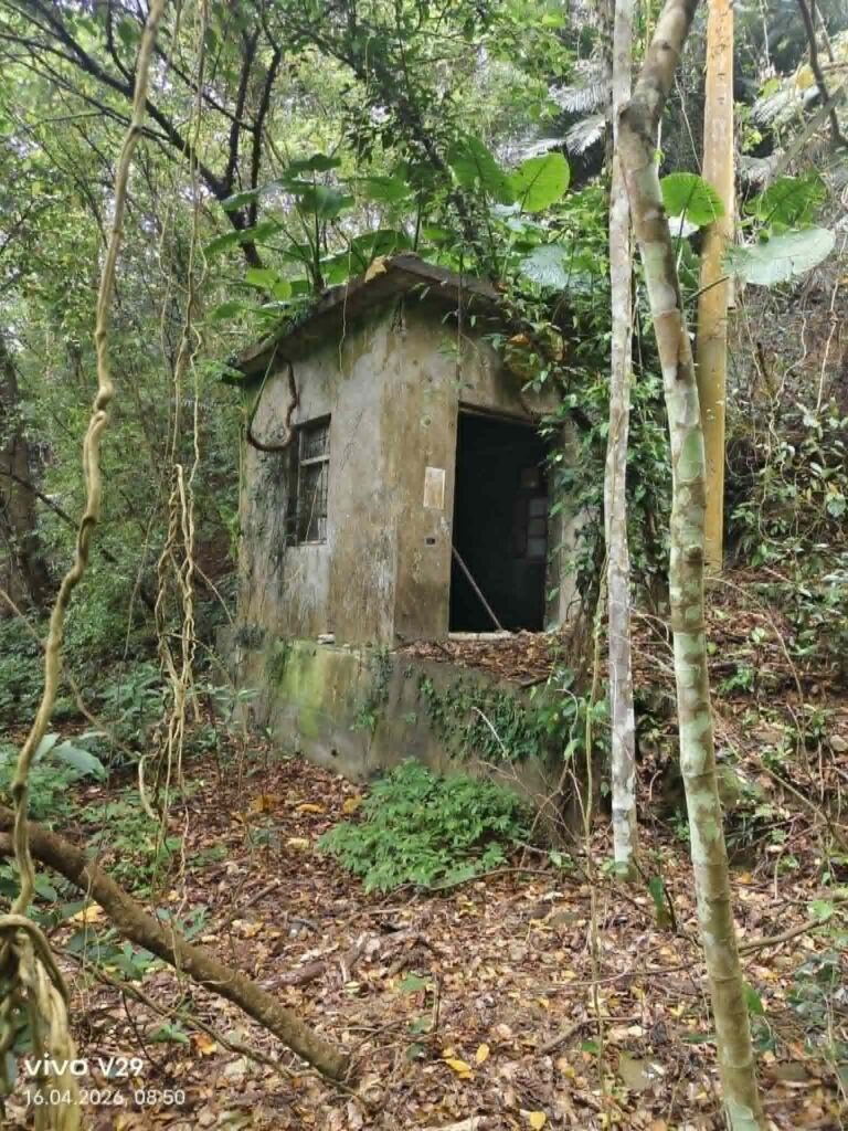
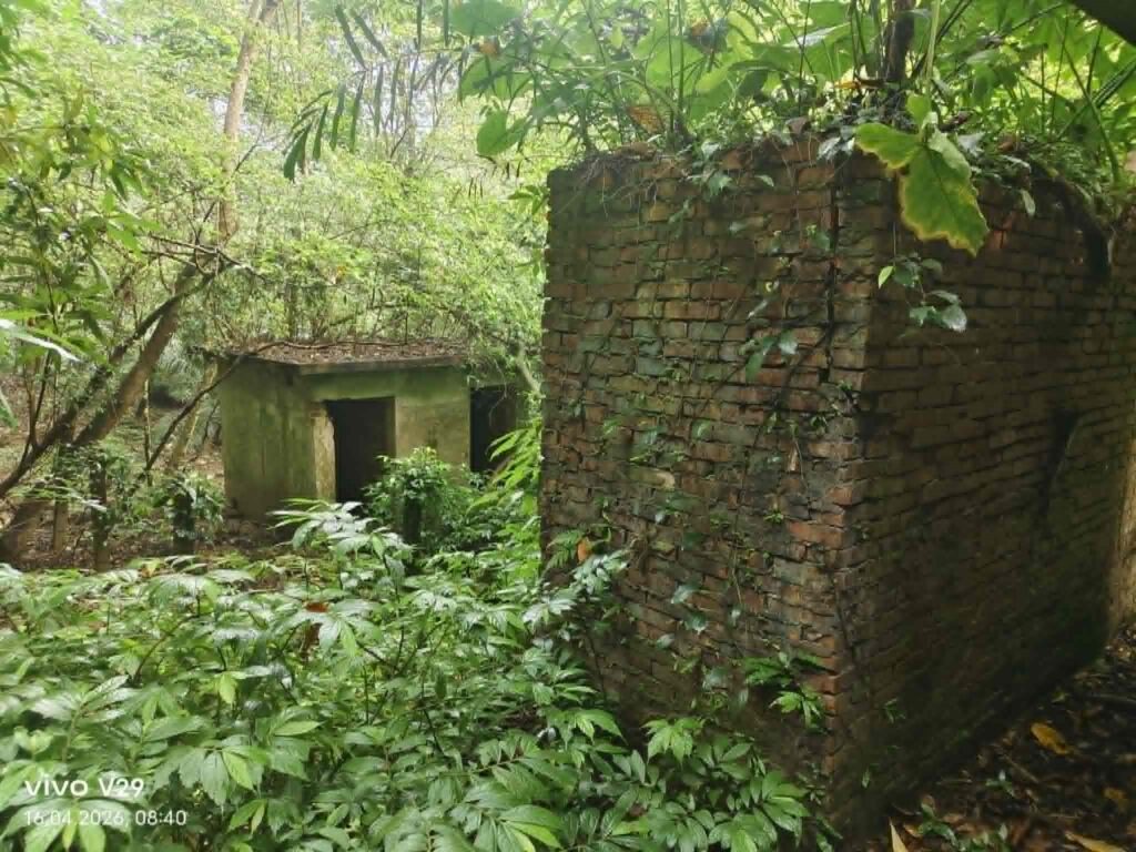
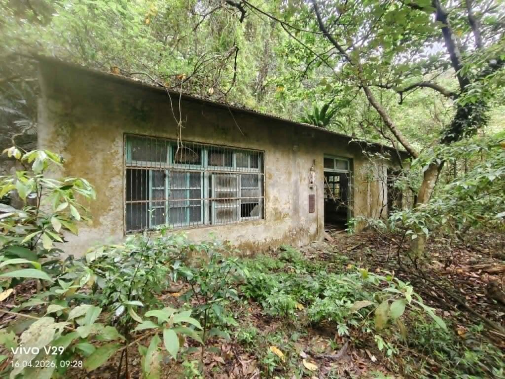
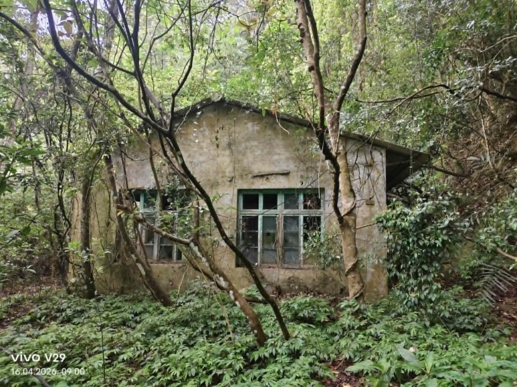
We were still able to make out the now heavily overgrown path for 50 m and followed it to the large administrative building. From 1960 or so? It is empty.
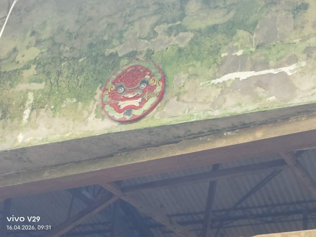
(Protection from ghosts?)
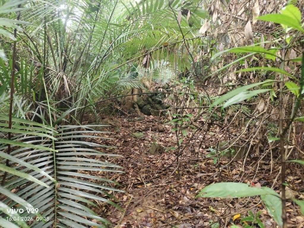
We continued further for 200 m, but could hardly make out anything because everything was heavily overgrown. There apparently used to be a settlement and/or fields, as indicated by the stone walls.
Copyright Claudius Petzold