Still in process
Until around 2014, the Lotus Pond Trail in the Taroko Gorge was slightly challenging but not a real problem. I led guests there both privately and as a tour guide. It was always a beautiful path through nature and history. However, after a typhoon, bridges and later entire sections of the trail were gradually destroyed. By 2021, I could only walk parts of it. I don’t think the trail will be restored after the last earthquake in 2024.
The Lotus Pond settlement was originally home to the Suwasaru tribe of the Truku people. During the Japanese colonial period, the Truku people called it Tian Tan (“Heavenly Lake”). Later, it was renamed Lotus Pond due to the abundant water hyacinths that once covered its surface.
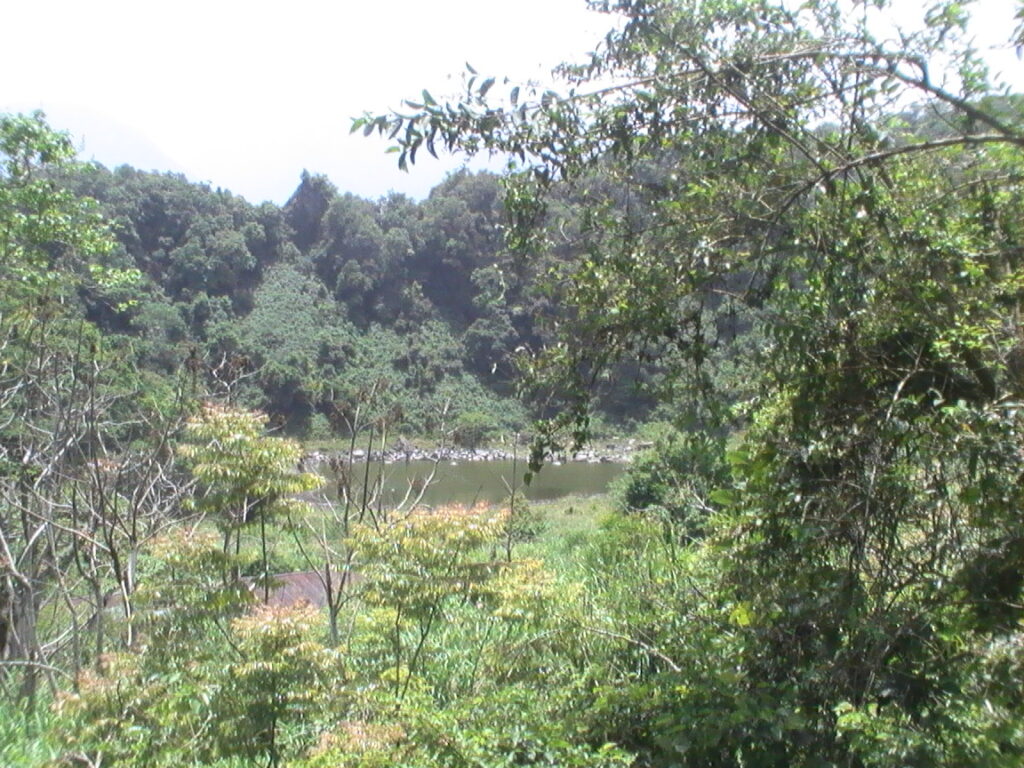
The pond originally had a diameter of over 500 meters, creating a stunning scene with floating hyacinths. However, when veterans introduced grass carp into the pond, the fish severed the stems, causing the plants to wither. Additionally, severe water seepage left only a small pool of water most of the time.
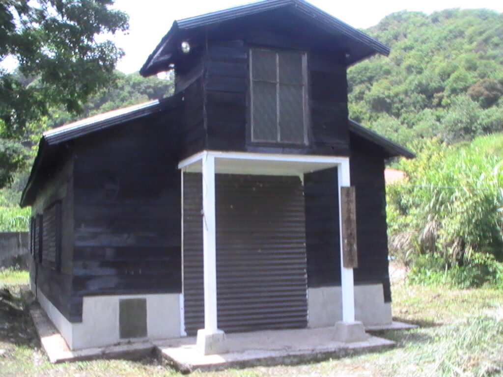
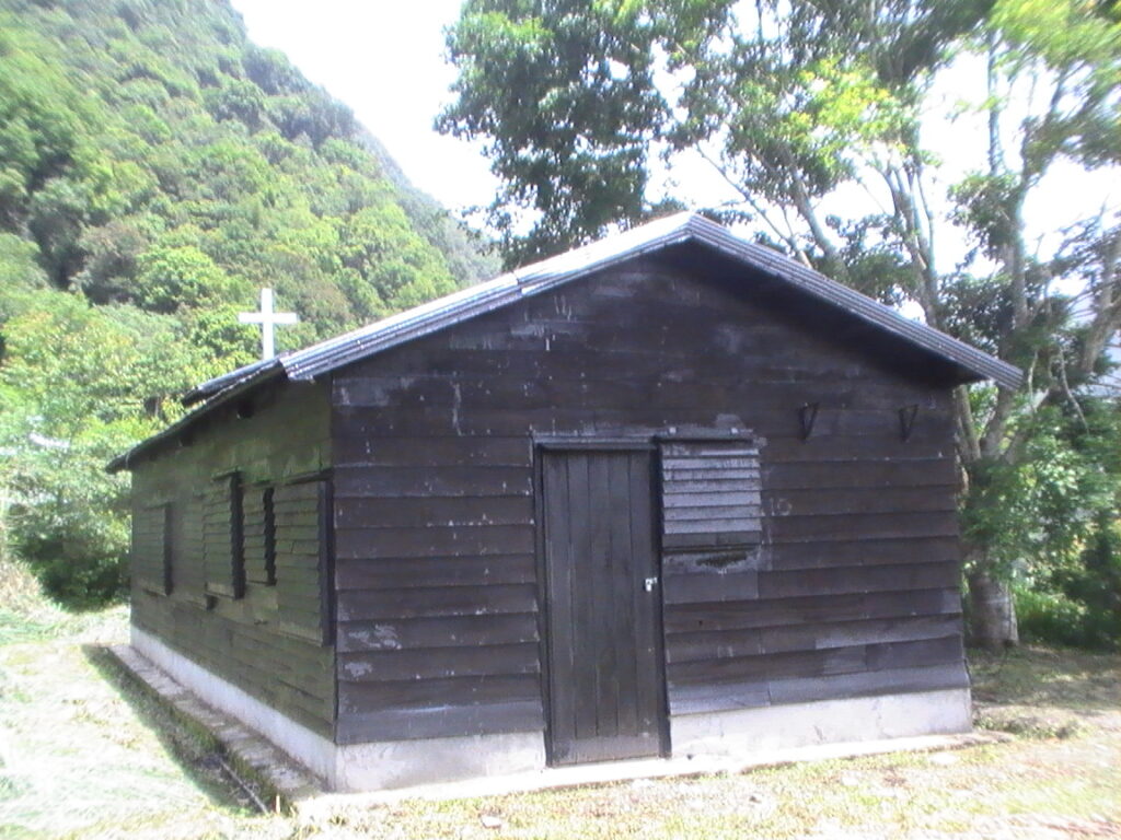
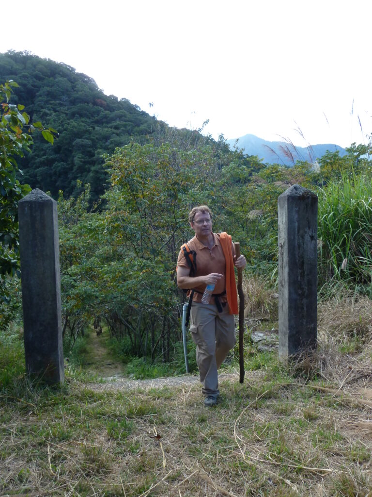
(Entrance to the village)
After the Central Cross-Island Highway was opened, Chiang Ching-kuo ordered the Veterans Affairs Council to arrange for retired veterans to settle here. Similar to Meiyuan and Zhucun, the veterans cultivated the land, gradually forming a village where they grew vegetables and fruit. The only access route for people was the Lotus Pond Trail, while daily necessities and farm products were transported via a cableway descending to Hui Tou Bend. This isolation made Lotus Pond feel like a hidden world. However, as the veterans aged, they gradually moved down the mountain, leaving the farmland abandoned. You could book individual houses for tours deep into the mountains.
A cableway from Hui Tou Bend leads directly across the Dasha River ridge to Lotus Pond. As the only natural alpine lake within Taroko National Park, Lotus Pond sits at an elevation of 1,180 meters.
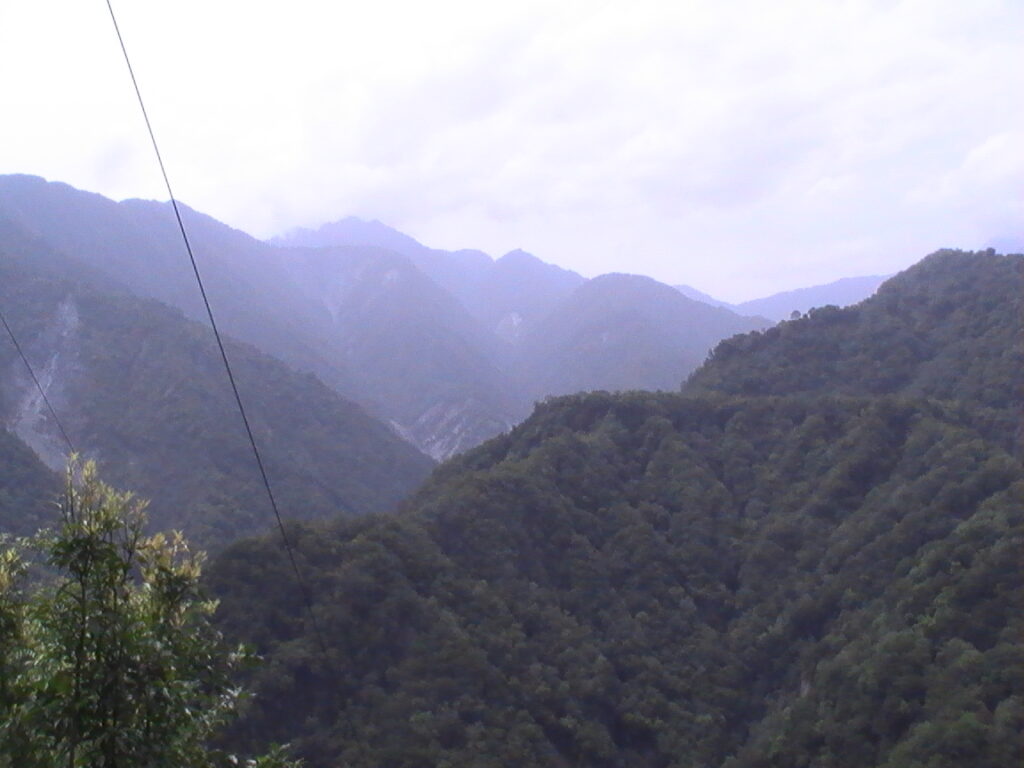
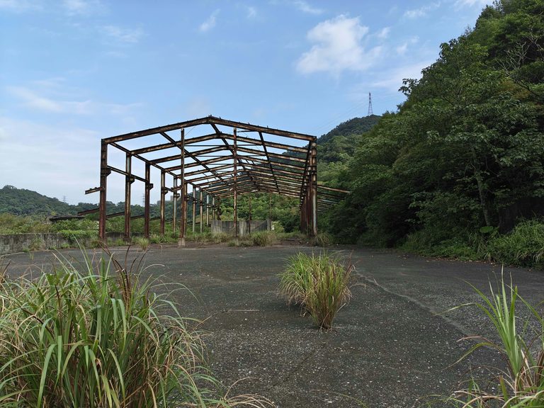
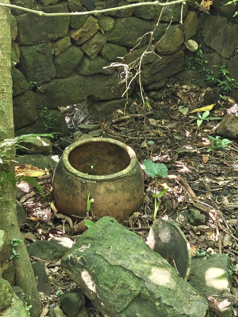
As the aging veterans gradually left, the farmland surrounding Lotus Pond was abandoned, allowing nature to reclaim the area.
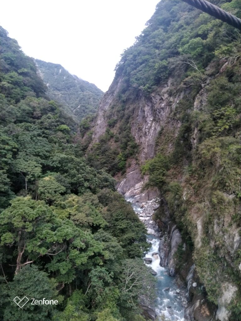
Today, the pond has become a paradise where lowland and highland birds, as well as butterflies, converge. Wildlife sightings are now common, making it a haven for nature lovers. On my first visit, it was one of the most beautiful trails, initially running directly above a misty gorge and crossing two bridges.
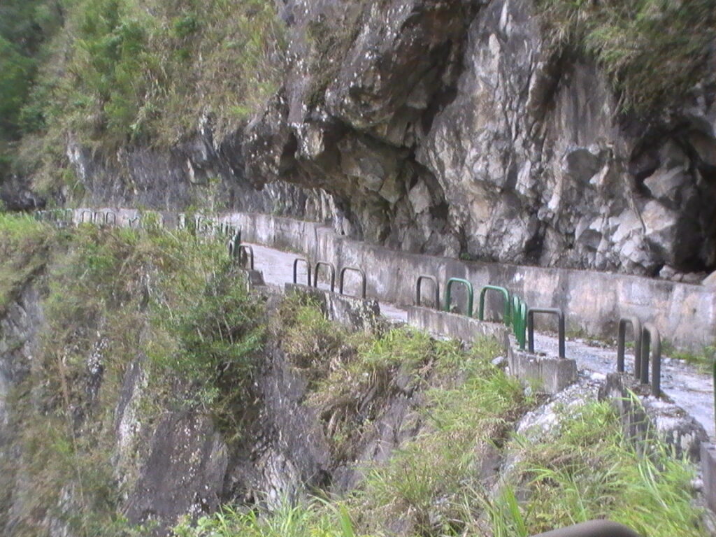
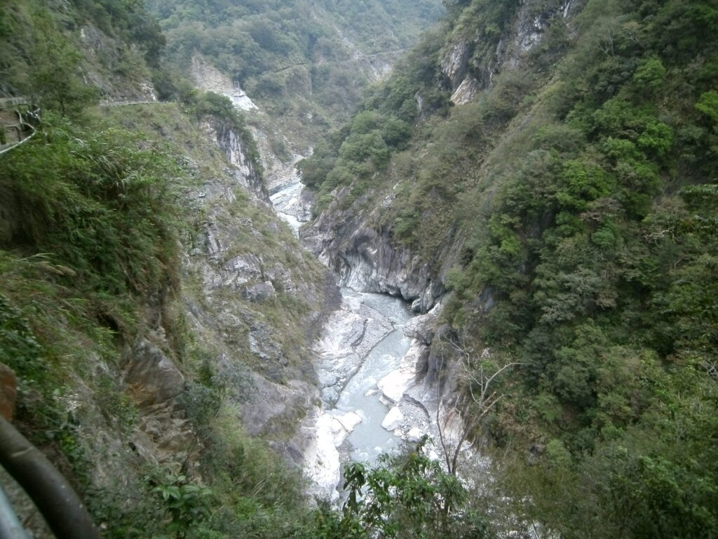
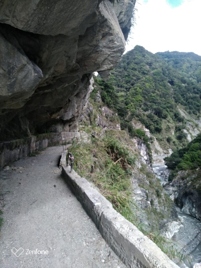
The trail begins with a 1.5 km hike along a flat farm road, about 10 meters above the secondary gorge. The view was breathtaking—rushing water, wild animals calling—no sign of another soul.
You had to cross two suspension bridges.
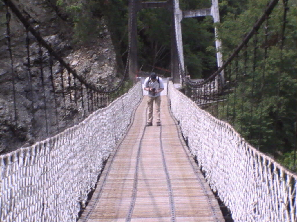
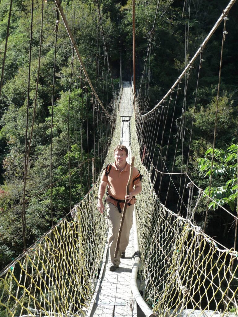
The bridge was already damaged in 2012.
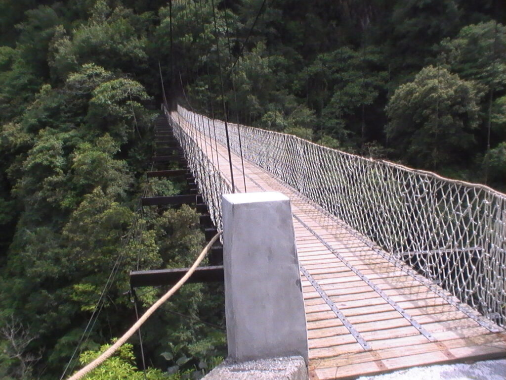
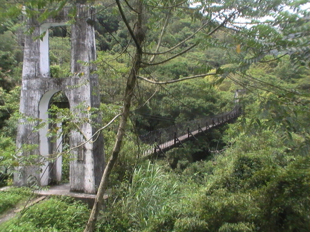
(Second bridge, The steep ascent begins now.)
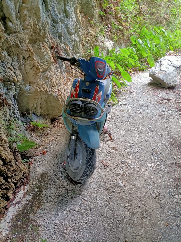
From here, the path climbed steeply upward. Later, the bridge was already damaged and narrowed, with mopeds no longer allowed to cross. https://www.youtube.com/watch?v=vUP5yi9TJLY
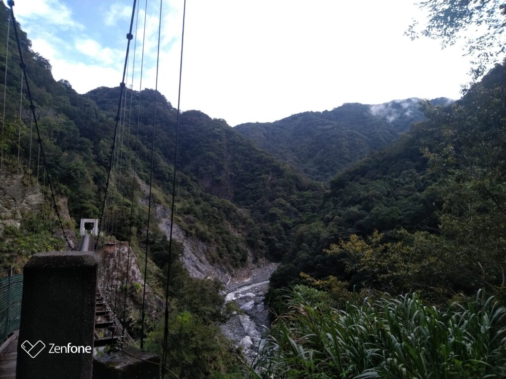
My travel business came to a halt due to harsh policies (thanks again). When I returned in 2021, the trail was severely damaged. Nevertheless, it was a big adventure! Right at the beginning, the path had collapsed and was specially rebuilt by the indigenous people.
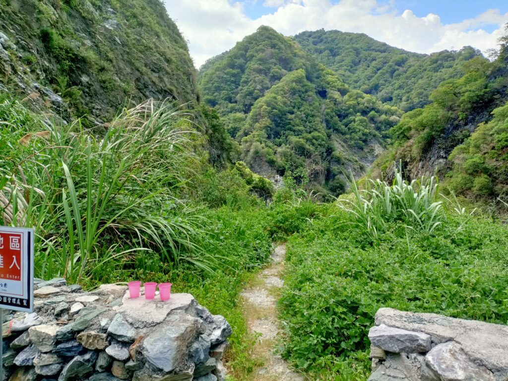
After the first bridge, it became more challenging. The path was heavily overgrown and collapsed in places.
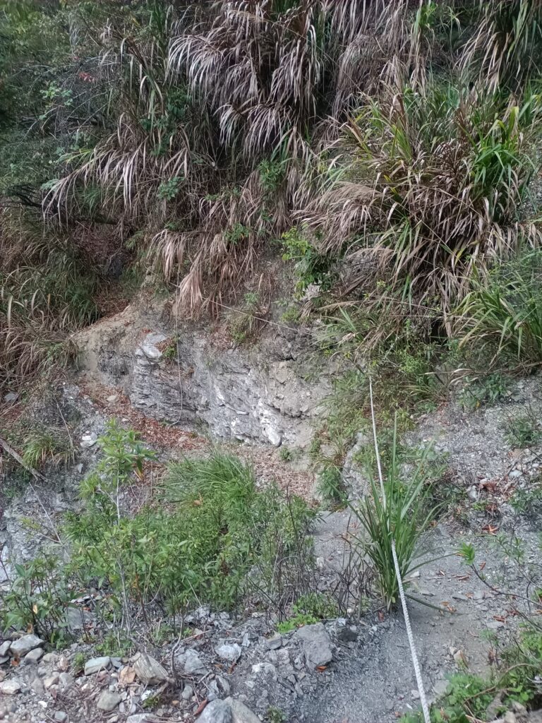
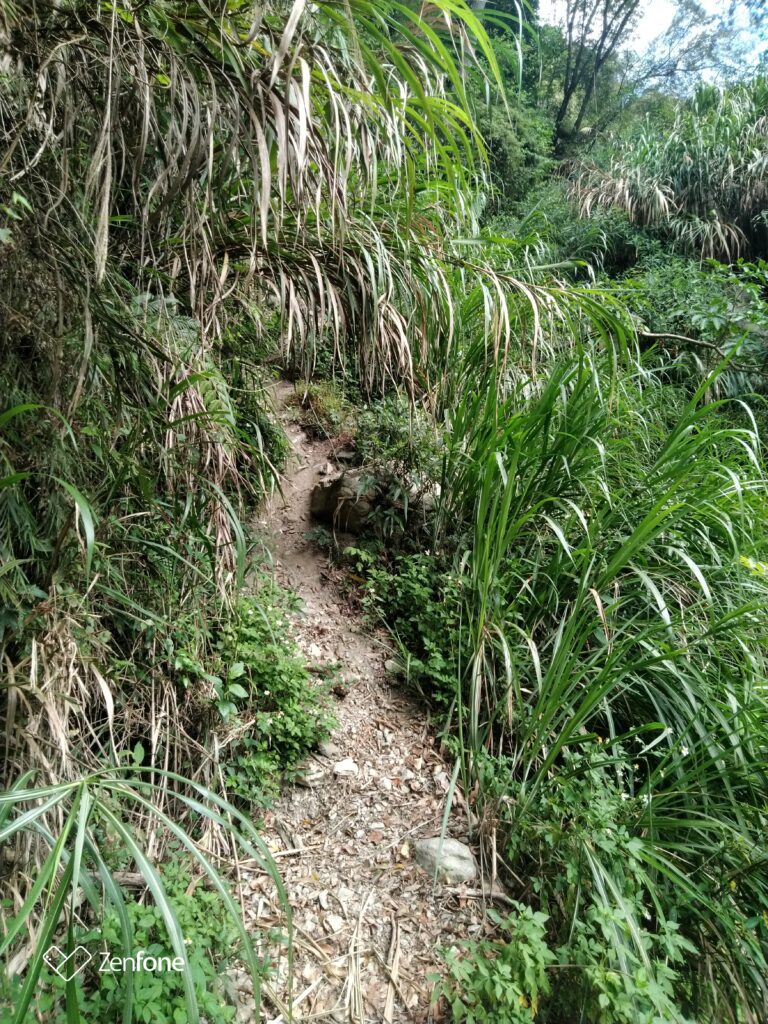
The boss at work.
This area with landslides has always been the problem, and it seems all attempts to rebuild it will likely fail.
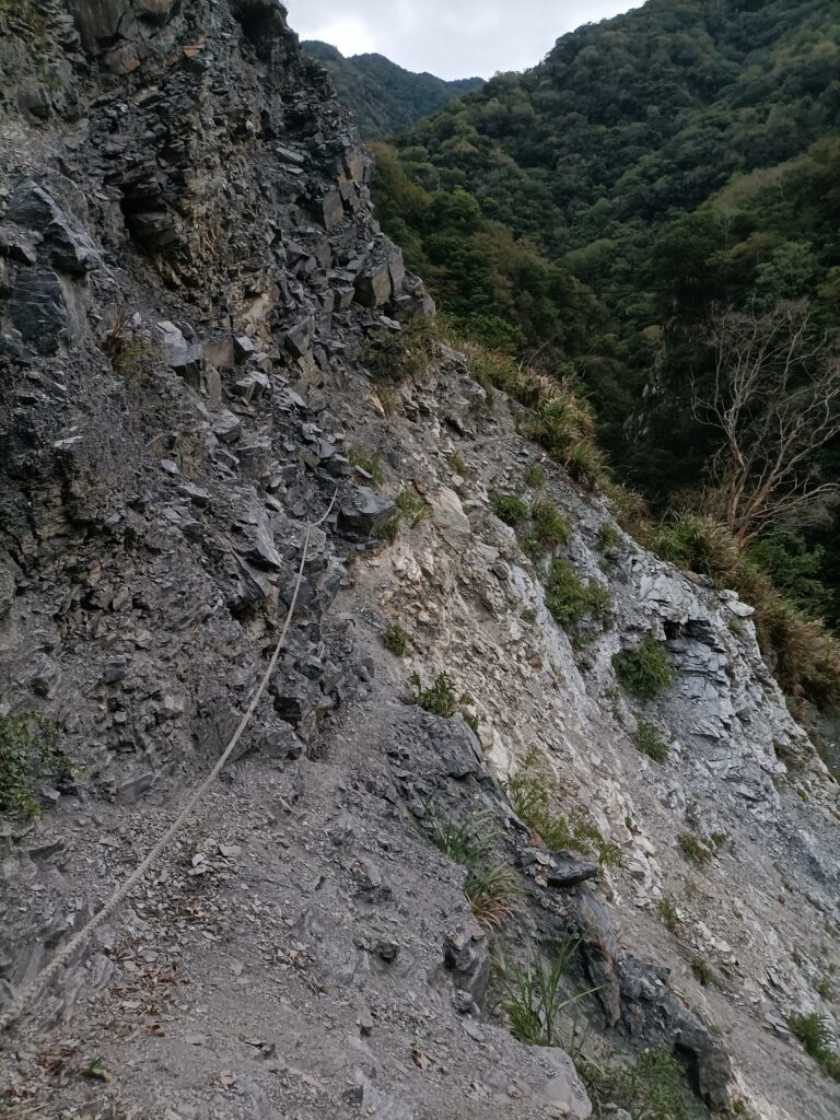
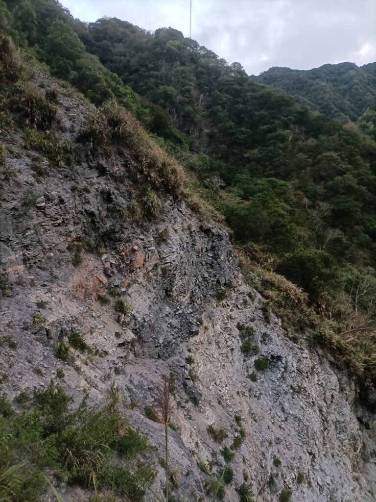
(Copyright Claudius Petzold)