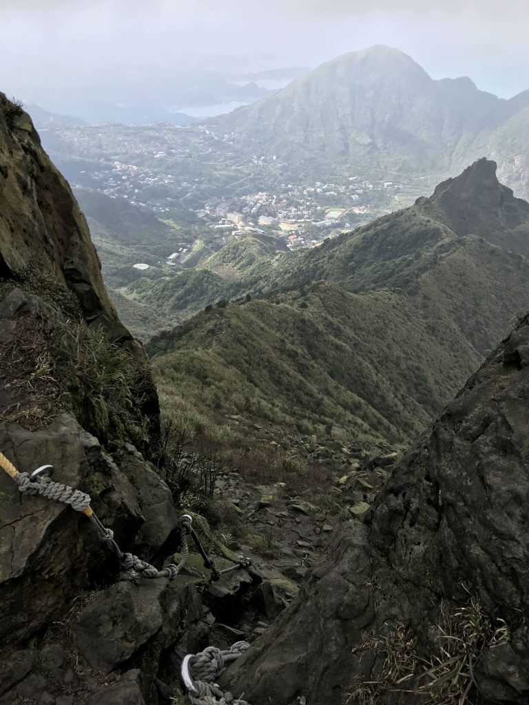
Dangerous (snakes, landslides)
The post describes an attempt to locate Dacukeng Mine No. 6. For general informationen about Dacukeng, please see:
https://lostplaces.tw/a-borrowed-life/
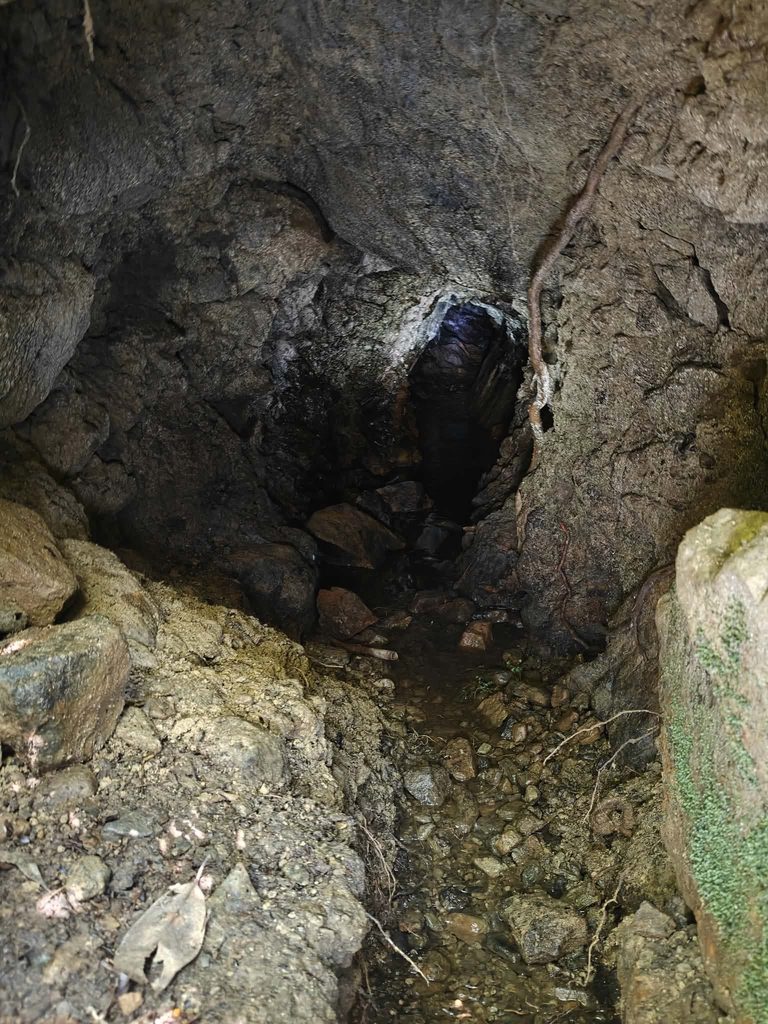
An elderly resident gave me in July a rough description of where Mine No. 6 was located, so I set out to find it. Google Earth and Google Maps are of little help because the entire area is completely overgrown. I could only rely on the contour lines and his description. However, Google Maps does show an old road that has since disappeared. Near the beginning of the creek crossing, there is one of the many small adits in the area, although this one is particularly small. It appears that people still enter it.
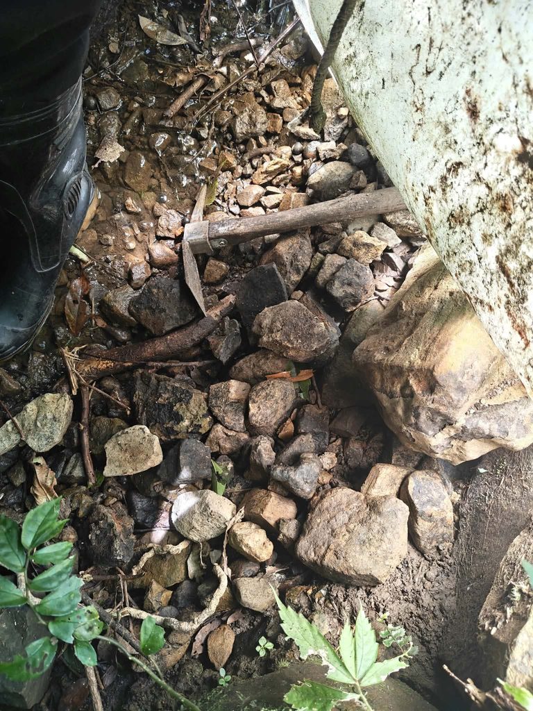
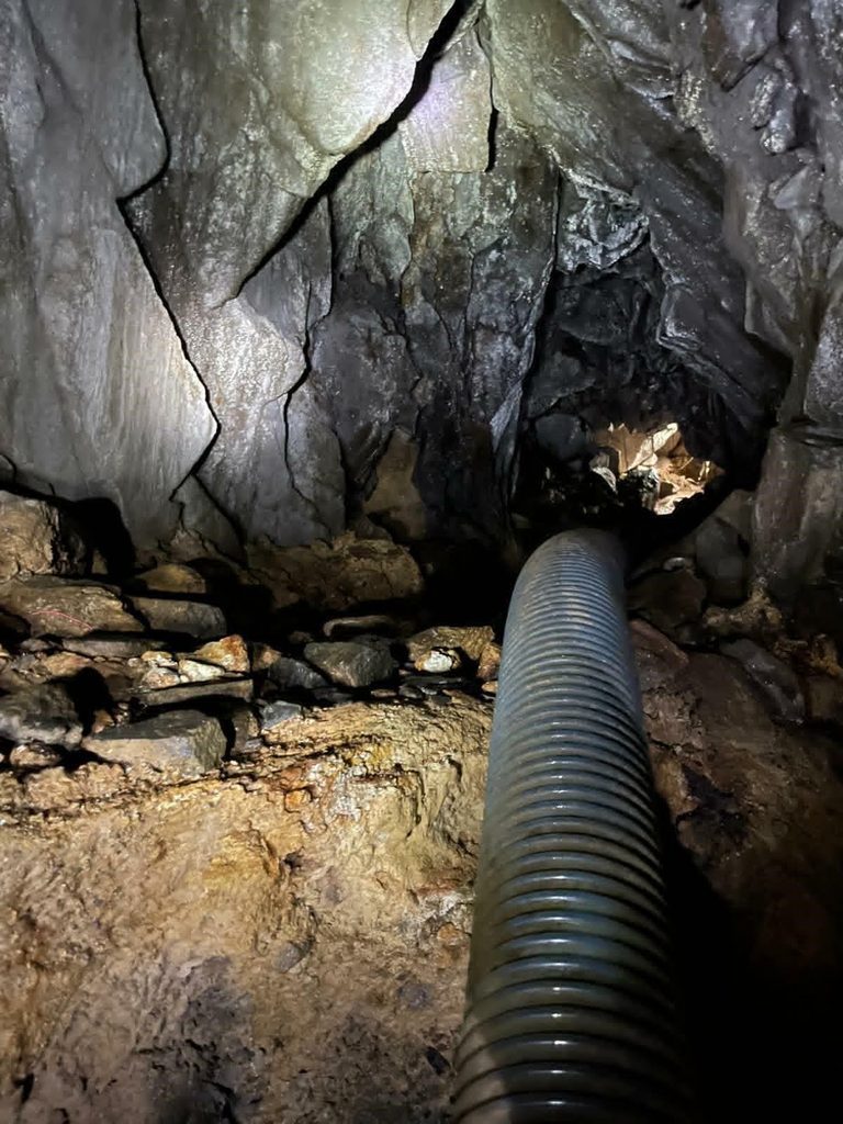
After only about two minutes, we could actually make out the remains of the old road. By “remains,” I mean that its shape and course are still recognizable in the terrain; there is no concrete or anything like that left. We followed the “road” to its end. There we encountered a major drop-off and a deep river valley. We mistakenly assumed that this was where the road ended and climbed perhaps five metres uphill. I looked around for a while. Above the valley, I noticed a small trickle of water. That is unusual and often a sign of an old mine adit. And sure enough, the entrance was easy to spot:
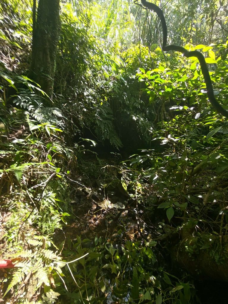
(before cleaning)
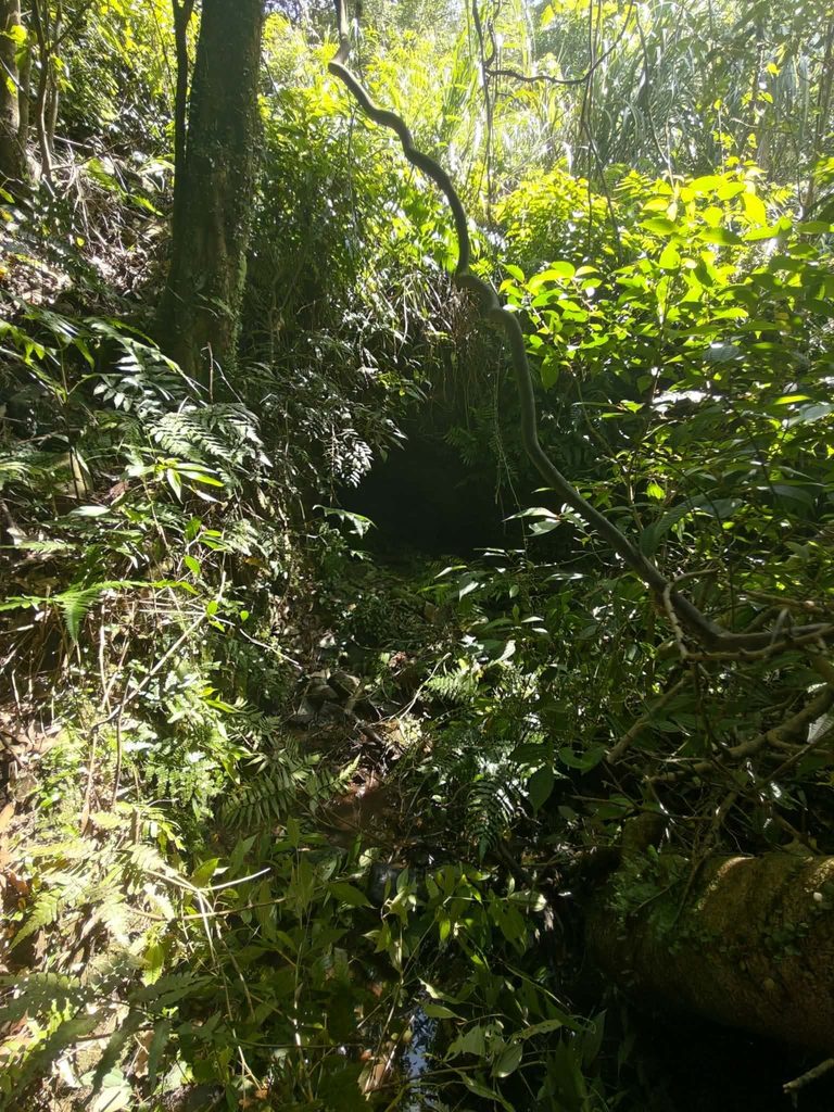
(after cleaning)
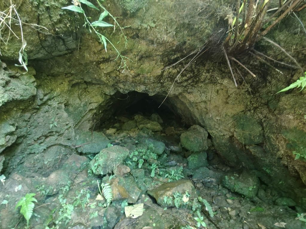
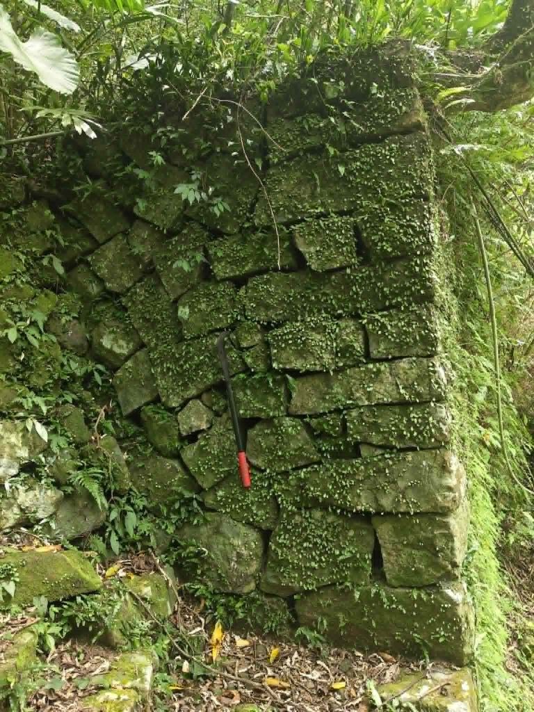
Unfortunately, it has collapsed. I also think that, given the complete absence of any concrete reinforcement, it cannot be the main entrance to Mine No. 6. It is more likely one of the many smaller side adits. On this second level there are numerous remains of buildings. Only a few walls survive, while most structures are reduced to their foundations. They appear to have been residential buildings. We found no trace of the ore-processing plant.
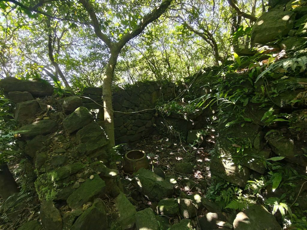
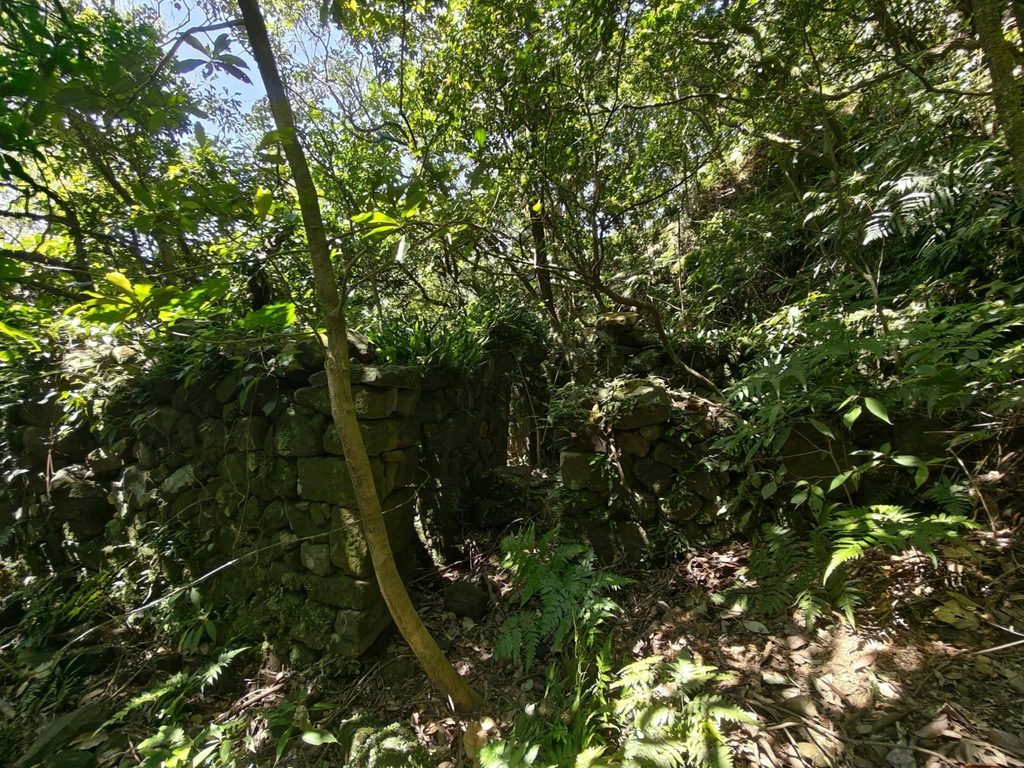
So we climbed another steep ten metres or so. There must once have been an enormous open area here, although unfortunately this is hardly visible in the photographs. Our search on this level was completely unsuccessful; all we found were a few more foundations.
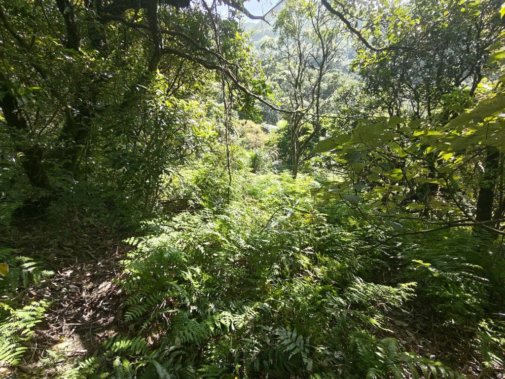
We continued climbing. Here there are clearly remains of an old mine-cart track embedded into the ground. Unfortunately, this is something that can really only be recognized when you are standing there.
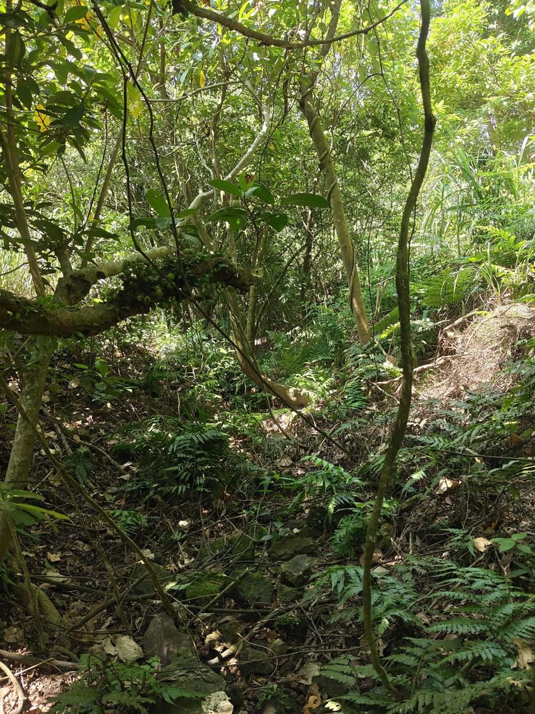
We tried hacking our way through the vegetation, but it was extremely exhausting and time-consuming, and eventually we gave up. Long working hours for one of our group, combined with a long barbecue the night before, had not exactly helped our stamina. It was also very hot.
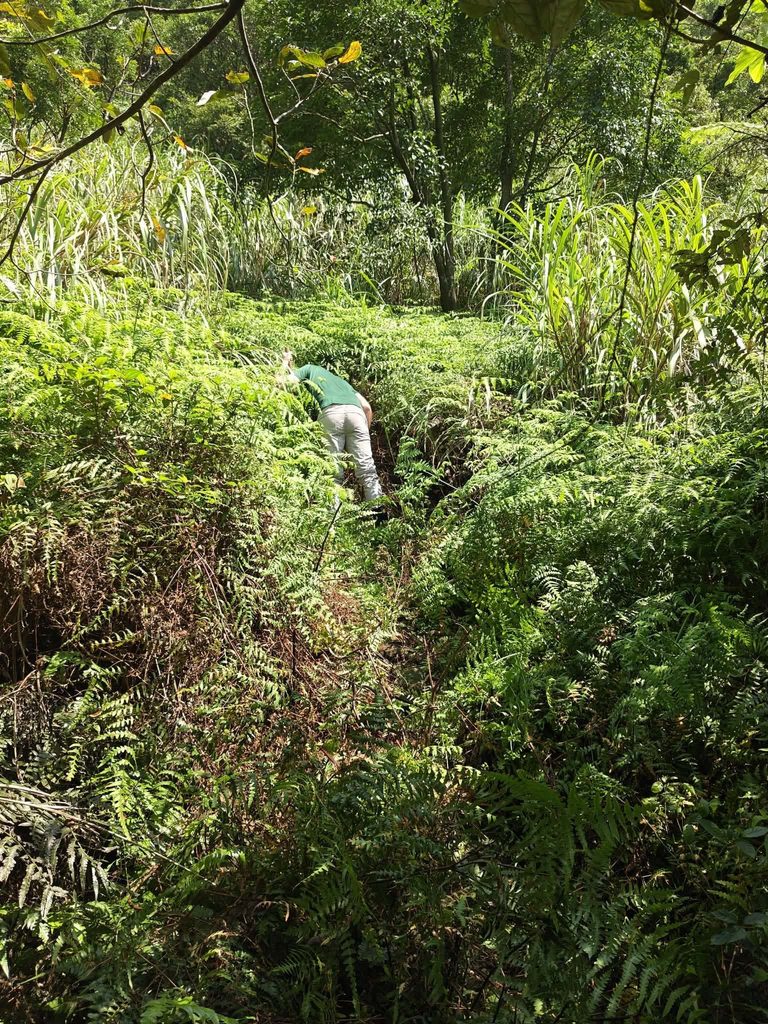
Later, I looked at the old map again. My suspicion is that the deep valley was formed later by landslides or slope collapses, forcing the creek to find a new course. If that is correct, I will probably have to descend almost vertically into the valley to continue the search. This ten-year-old post seems to confirm this:
https://ivynimay.blogspot.com/2015/12/1041229.html
A word of warning: Even if you do not see them, there are numerous venomous snakes in the area. Habus often coil up underneath fallen trees and may strike at passing shadows if they have no way to escape.
Also, although the route may sound straightforward from the description, there are virtually no reliable landmarks, so it is very easy to lose your bearings and suddenly find yourself at the top of a sheer drop. The original topography of the area has changed considerably.
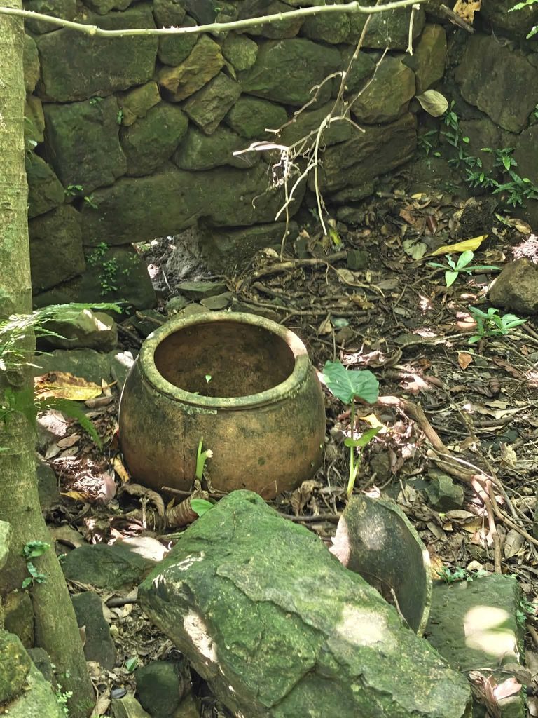
(copyright Claudius Petzold)