ed. 2026/10/17
very dangerous! (toxic, snakes, unstable, green frogs)
in process
It is actually quite remarkable how little well-organized information can be found about the Shuinandong Smelter and its surroundings. While bits and pieces are scattered across various websites, comprehensive and coherent background information is surprisingly rare. I’ve already covered parts of the story elsewhere, but here I have tried to present everything in a more structured and accessible way. I’ll simply include a selection of photographs without any particular order, allowing them to speak for themselves.
General Description
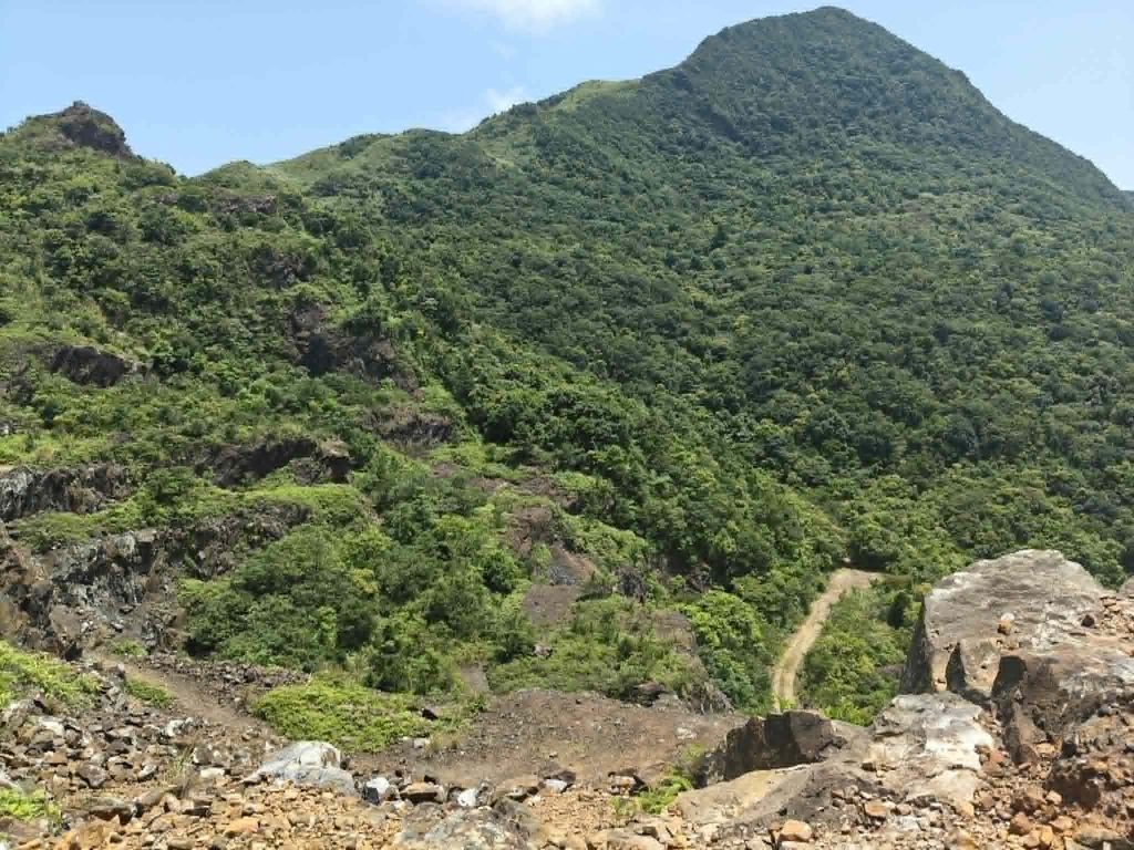
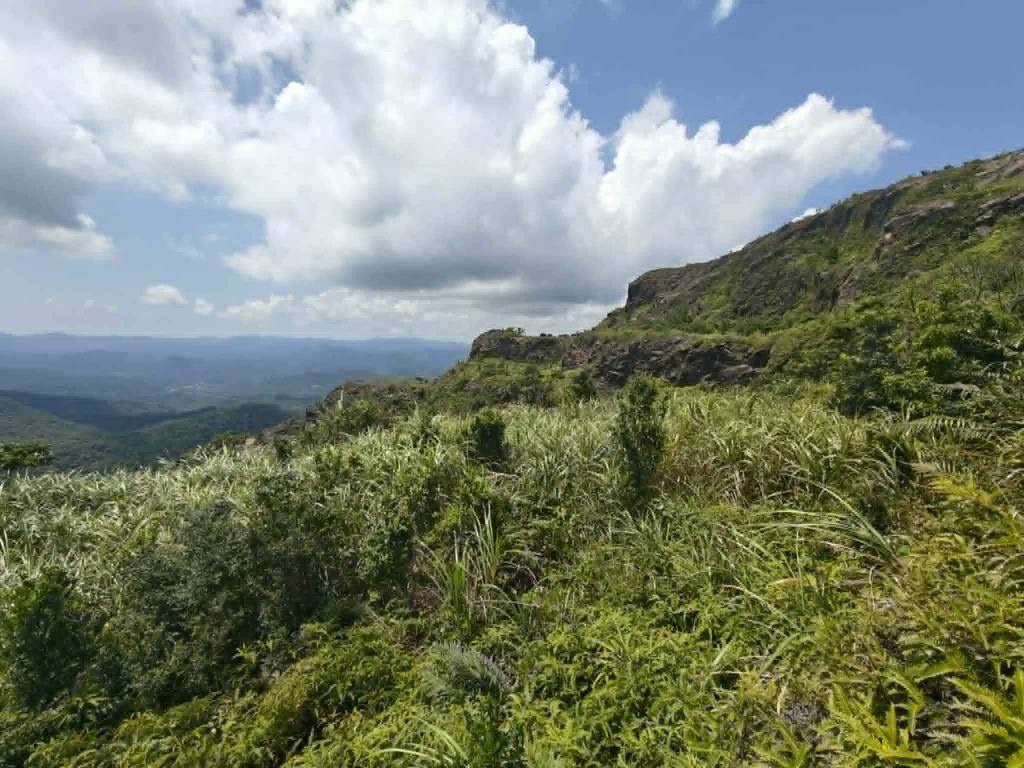
Today, it is difficult to imagine what this area once looked like. Stretching between the Pacific Ocean, Jinguashi, Jiufen, Dacukeng, and Houtong was an enormous mining district, filled with extensive settlements, industrial facilities, processing plants, and countless mines. Very little of this landscape has survived. Old roads have disappeared, while new ones have replaced them. Many buildings have collapsed, others have been buried by landslides or washed away by floods. Repeated earthquakes and powerful typhoons have further erased the traces of what was once one of Taiwan’s most important mining regions. Anyone considering entering this area should be aware that it is not a safe adventure.
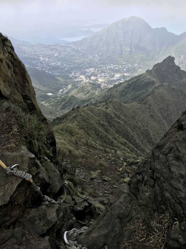
(view from Banping Mountain to Teapot and Keelung Mountain, Jinguashi between)
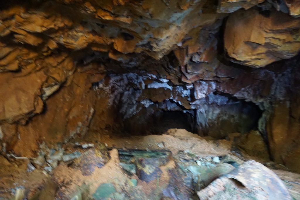
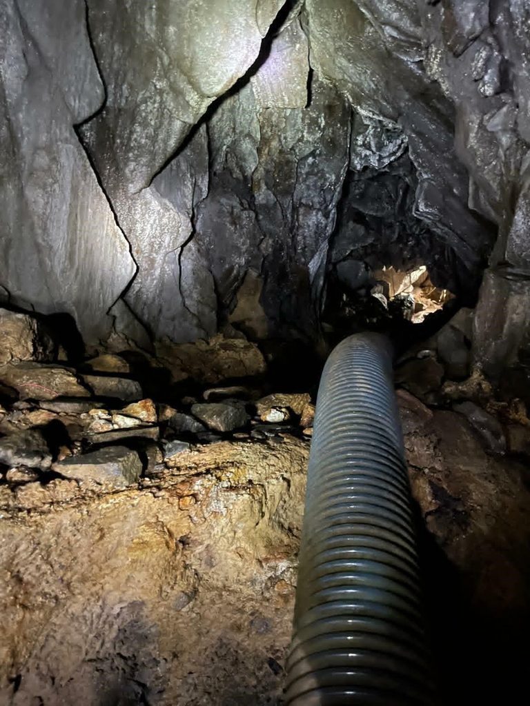
The ground around the Shuinandong Smelter remains heavily contaminated with toxic substances. The passage of time has not made the site any safer. The surrounding mines—and even the ground above them—are highly unstable. People have fallen into hidden mine shafts that were concealed by vegetation or collapsed ground. In general, the entire region is prone to landslides. The abandoned mines themselves have become even more hazardous with age. Dangerous gases such as methane and carbon monoxide may accumulate underground, while arsenic and contaminated mine water pose additional health risks. The area is also home to several species of venomous snakes, including the Taiwan habu and the green bamboo viper. Exploring this area should only be undertaken with a full understanding of the risks and appropriate precautions.
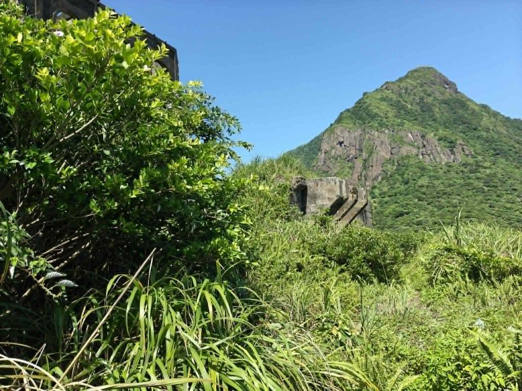
Some areas are off-limits and must not be entered. The photographs shown here were taken by various people over many years. Some are quite old, and certain locations depicted have since collapsed, been demolished, or no longer exist in the condition shown.
Geographical Division
To understand the mining region, it is best to disregard today’s administrative boundaries and road network. Too much has changed over the decades. Place names and mine designations are often inconsistent and confusing. Northern Taiwan was home to both gold and copper mining as well as coal mining—a remarkable geological coincidence, as the formation of these deposits was separated by millions of years.
The best-known site is the Shuinandong Smelter, better known internationally as the Thirteen Levels. This enormous industrial complex processed both gold and copper ore and ranks among Taiwan’s largest historical mining facilities. Its appearance changed several times throughout its operational history.
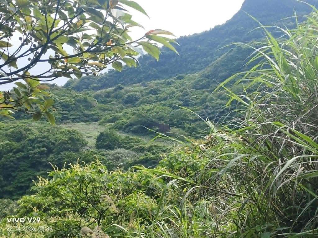
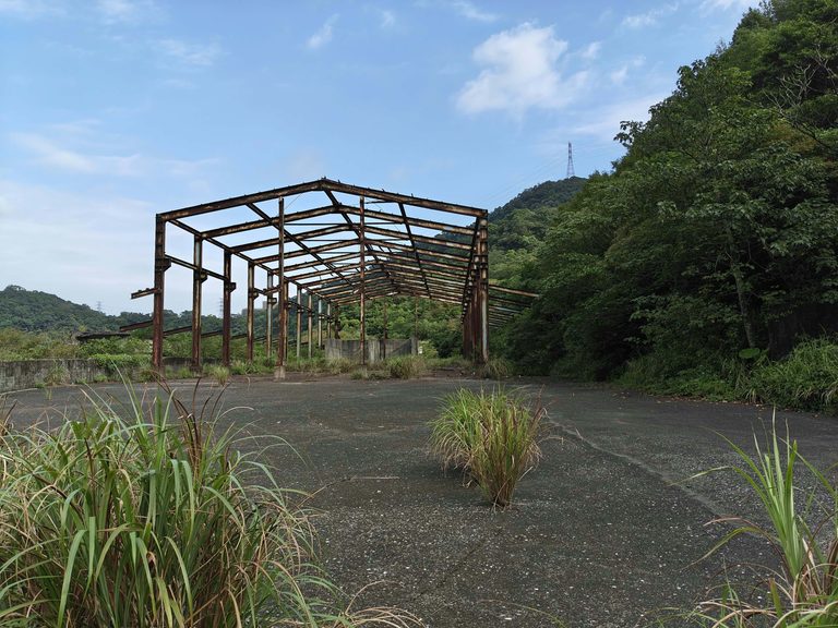
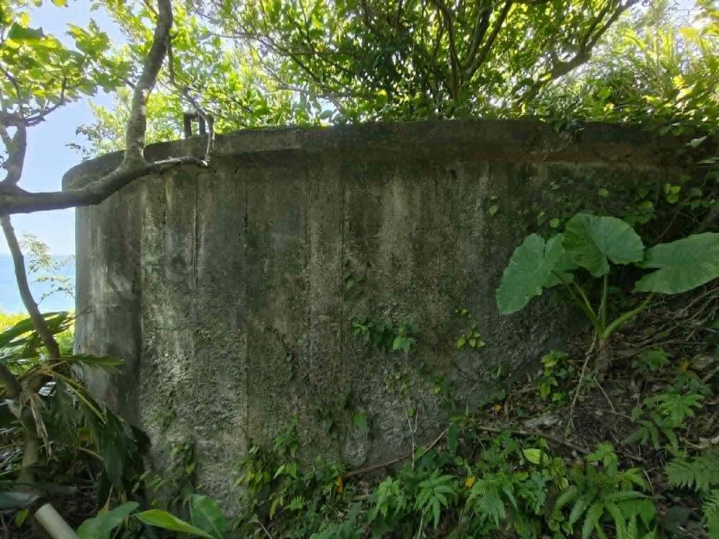
(remains of some facilities)
Further uphill and inland (roughly to the south) were the entrances to the underground mines. The mining system consisted of nine main shafts, which were interconnected by vertical shafts and numerous intermediate tunnels, forming an extensive underground network. The adjacent settlement, where most miners and their families lived, is Jinguashi (Japanese: Kinkaseki, today , Rd. Bei 34). Today the landscape appears almost entirely reclaimed by nature. However, at its peak until the mid-1980s, the entire mountain area was an industrial landscape interspersed with small settlements. From a distance, little of this history is visible, but anyone exploring the mountains on foot will encounter remnants almost everywhere. See the related article for more details: https://lostplaces.tw/in-the-backyard/
The region itself is a rugged mountain landscape with several parallel ridges, making orientation difficult. Tea Mountain (Chashan) appears to have been a separate mining district with its own workings.
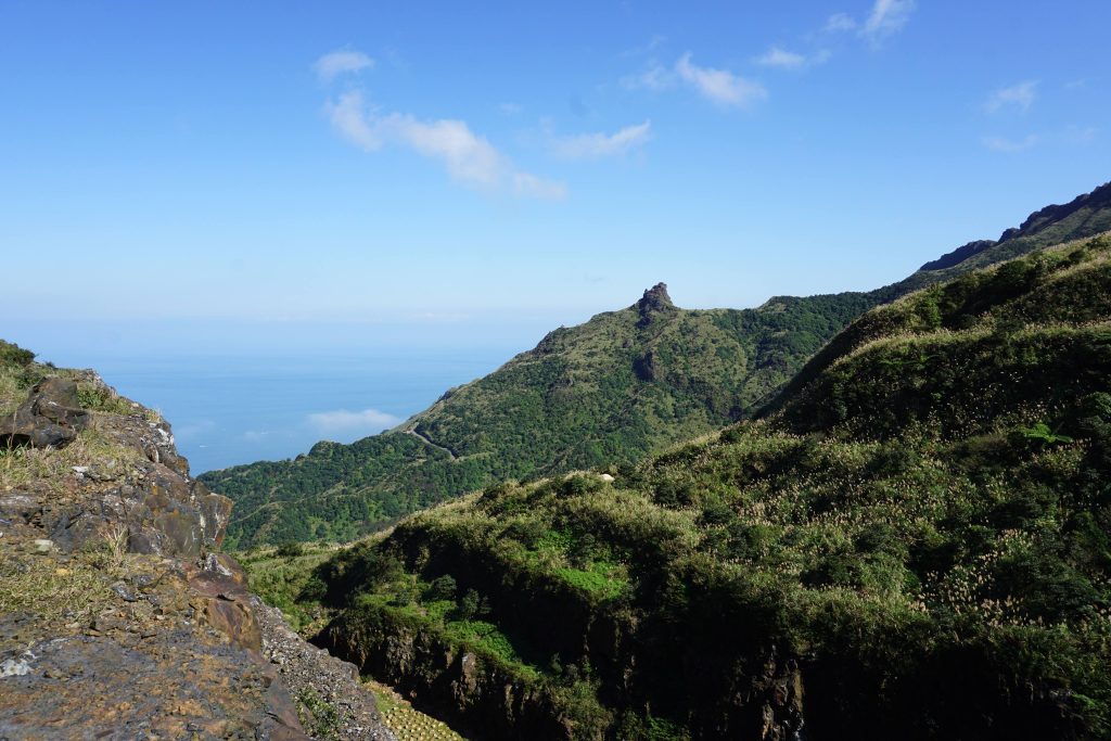
(Benshan)
The town of Jiufen has considerable historical and modern tourist significance. During the mining era, it primarily served as a residential community. English-language publications frequently confuse Jiufen with nearby Jinguashi, where the famous Prisoner of War Camp was located during the Japanese period.
Separated geographically from the main mining district is the village of Dacukeng. Today (Rd. 102), very little remains, but it was once a large and thriving settlement whose former importance is difficult to imagine. Dacukeng also had its own gold mines, and even the mining methods differed from those used in Jinguashi. See the separate article for further details. Finally, Houtong, located in the lowlands near present-day Ruifang (Rd. Bei 34), formed the center of northern Taiwan’s coal mining industry.
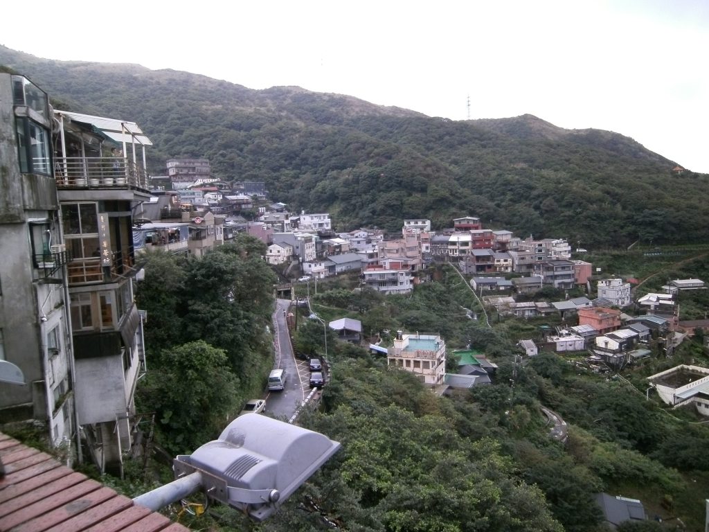
(Jiufen)
History of the Gold Mining
In 1890, workers constructing a bridge for the north–south railway over the Keelung River at Qidu, discovered placer gold in the riverbed. News of the find spread rapidly by word of mouth, triggering a gold rush along the Keelung River. Prospectors gradually extended their panning activities upstream to Longtandu, at the foot of Keelung Mountain (the area around present-day Ruifang Railway Station).
As many prospectors continued to search upstream for the source of the gold, a farmer surnamed Li discovered the exposed Xiaojingua (Little Golden Pumpkin) gold vein near Jiufen in 1893. Shortly after the discovery of the Xiaojingua outcrop, prospectors also located the nearby Dajingua (Big Golden Pumpkin) outcrop. Looking back to 1888, Jinguashi was little more than a remote wilderness, inhabited by only five farming families. Few could have imagined that within just a few years it would become one of Taiwan’s richest gold-producing regions and, over the following half century, one of the island’s most prosperous communities.
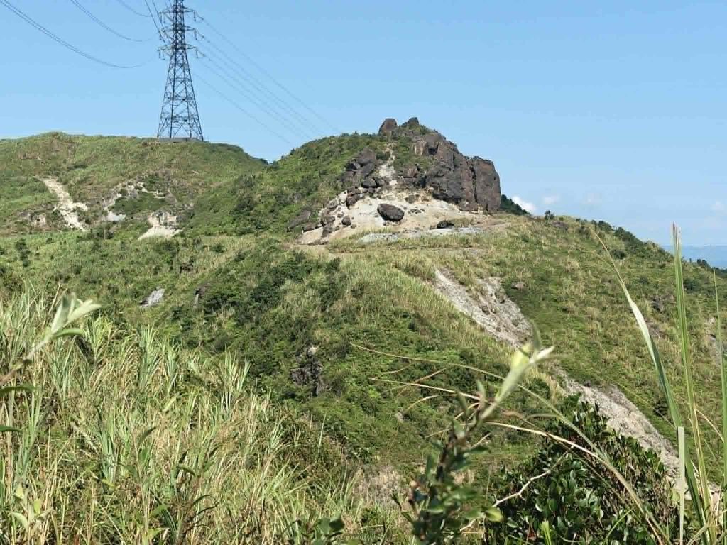
(Even after decades, the scars left by mining are still visible.)
The place name Jinguashi (“Golden Pumpkin Stone”) derives from the distinctive shapes of the Big and Little Golden Pumpkin outcrops, which resemble pumpkins. The discovery of these two rich gold-bearing outcrops transformed the once quiet slopes of Keelung Mountain into a thriving mining district and marked the beginning of the prosperous mining era that would later make Jiufen and Jinguashi famous. It is therefore a common misconception today that the largest gold veins and the most important deposits were located at Jinguashi. Of the former mining areas, only a small portion has survived, while the Thirteen Levels attract more visitors because of their impressive scale.
In 1898 another gold deposit was found at Wudankeng, south of Jinguashi. As a result, gold mining gradually shifted from placer mining in the lower and middle reaches of the Keelung River to hard-rock mining in the surrounding mountains. Mining activity expanded rapidly, bringing increasing prosperity to the region.
Gold production reached its peak during the 1930s, when the mines yielded nearly 70,000 taels (approximately 2.6 metric tonnes) of gold annually. This remarkable output earned Jinguashi the reputation as “Asia’s premier precious-metal mining district.” Source: http://tcmb.digital.ntu.edu.tw/memory/geology/story_keelung/stepping_mining.html?=map_2_02
History of Shuinandong Smelter
To extract gold, silver, and copper from the ore, the Japanese industrialist Tanaka Chōbei constructed a new smelter at Shuinandong in 1906. The facility was completed the following year and began processing gold-, silver-, and copper-bearing enargite ore using a dry smelting process to produce copper. As operations expanded, additional facilities were gradually constructed during the 1910s, including the mine administration office, a slime ore processing plant, a power station, and woodworking shops. However, due to high operating costs, the smelter ceased operations in 1923, and the workforce steadily declined.
In 1933, Nippon Mining Co., Ltd. acquired the Jinguashi Mining Company and renamed it Taiwan Mining Co., Ltd. The company immediately began constructing new facilities, including a modern flotation concentrator and a cyanide processing plant. B
During the Second World War, the plant was heavily damaged by American bombing. After the war, the mining area was taken over by the Taiwan Metal Mining Corporation, which repaired the concentrator and resumed operations after installing new equipment. At a later time, it viewed that the practice of shipping raw copper materials to Japan for smelting was too un-economical, the Corporation completed the construction of a copper matte reverberatory furnace for treating of raw copper materials to copper matte and the copper converters and copper refining furnaces for the treatment of copper matte to copper anodes in 1972 and in 1973 respectively. Raw copper and other raw materials were increasingly imported from abroad for processing.
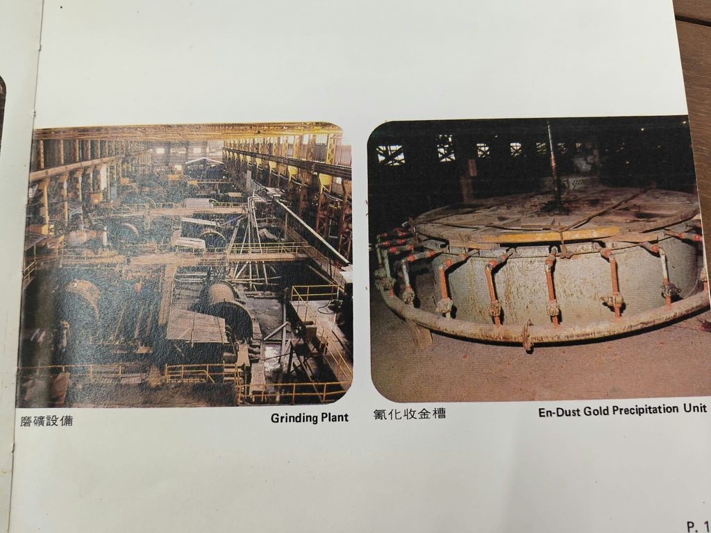
After 1978, large-scale open-pit mining was carried out in the Shumei area and near the Third Changren ore body. At the same time, to meet Taiwan’s growing demand for copper during its period of rapid economic development, and with special support from the Ministry of Economic Affairs, Taiwan Metal Mining built the Lile Copper Smelter between Shuinandong and Nanya in July 1977.
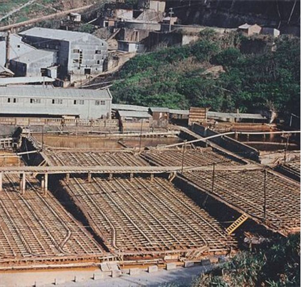
(The Shuinandong copper precipitation ponds in the 1970s, before their destruction. Photo: Zheng Chunshan / New Taipei City Government Cultural Affairs Department / National Cultural Memory Database, CC BY-NC 3.0 TW.)
In 1987, the Taiwan Metal Mining Corporation ceased operations. The Shuinandong concentrator and smelter complex was subsequently transferred to the Taiwan Power Company, after which the buildings were left unused and abandoned. On October 26, 1987, the Jinguashi mining area was struck by Typhoon Lynn. Violent winds and torrential rainfall triggered massive mudslides in Shuinandong (Jinguashi), on a scale not seen there for a century. The disaster caused landslides, destroyed roads, collapsed buildings, and resulted in fatalities. The Changren area was particularly badly affected. Around noon that day, the nearby Shuinandong copper precipitation ponds and surrounding buildings were buried beneath four to five metres of mud and debris in less than two hours. After the disaster, the site was cleared and levelled. Today, the area is used as the Shuinandong car park.
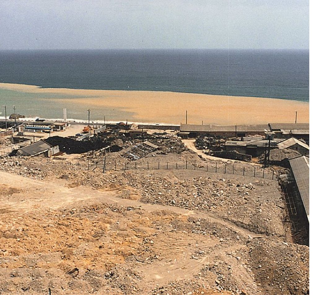
(The site of the Shuinandong copper precipitation ponds after Typhoon Lynn in 1987. The ponds and surrounding buildings were buried beneath four to five metres of debris. Photo: Zheng Chunshan / New Taipei City Government Cultural Affairs Department / National Cultural Memory Database, CC BY-NC 3.0 TW.)
In 2003, the site—together with the well-preserved industrial heritage and rich historical remains of the Shuinandong, Jinguashi, and Jiufen mining district—was identified as a potential World Heritage Site for Taiwan. In 2004, as part of weekend traffic control measures in the Shuinandong–Jinguashi–Jiufen area, the former copper settling ponds in front of the smelter were converted into a parking lot for visitors.
Other areas
Shumei Open Pit (樹梅露天掘) – located south or southeast of the Benshan Open Pit. Today, it is far less well known and is largely overgrown. Official descriptions of the mining area explicitly identify it as the second major open-pit mine. It is also regarded as a destination for motorcyclists.
Beauty and Peril
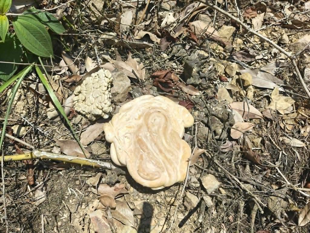
Pure enargite (Cu₃AsS₄) is a copper arsenic sulfide mineral and contains only copper, arsenic, and sulfur. However, in some deposits, enargite ore is gold- and silver-bearing. The precious metals occur as microscopic inclusions, in associated minerals, or are finely disseminated within the sulfide ore. The Jinguashi deposit is internationally renowned for its exceptionally large reserves of gold-bearing enargite, making it one of the world’s rare examples of this type of mineralization. This is why the ore was mined not only for its copper but also for its economically significant gold and silver content.
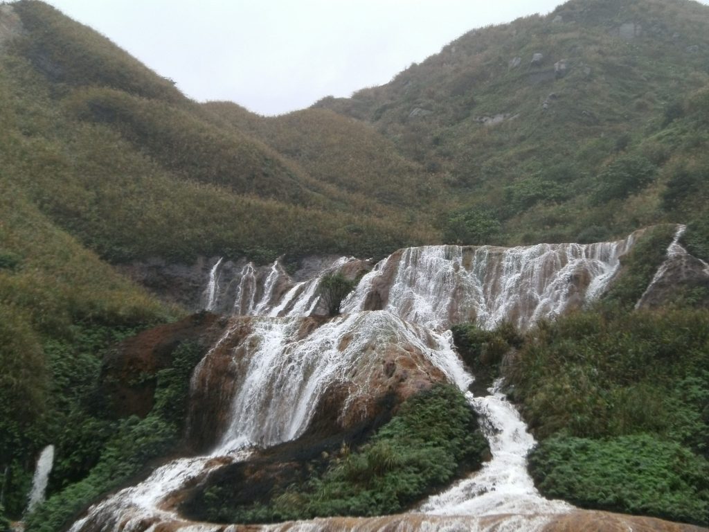
Mine water is created when rainwater and groundwater seep into abandoned mine tunnels and come into contact with exposed mineral deposits. In Jinguashi, many of these rocks contain pyrite (iron sulfide) and enargite, a copper arsenic sulfide mineral. As these minerals react with oxygen and water, they oxidize, producing sulfuric acid. This acidic water dissolves metals such as iron, copper, and arsenic from the surrounding rock, creating what is known as acid mine drainage. The Golden Waterfall (黃金瀑布) is one of the most visible results of this process. Mine water from the abandoned workings emerges from the mountains and flows into the stream above the waterfall. As the acidic, iron-rich water is exposed to air, dissolved iron oxidizes and precipitates as iron oxides and hydroxides, coating the rocks in striking shades of yellow, orange, and reddish brown. These mineral deposits give the waterfall its distinctive golden appearance. Although the Golden Waterfall is a spectacular natural attraction, its colors are the result of pollution caused by more than a century of mining. The water contains elevated concentrations of dissolved metals and is highly acidic, making it unsuitable for swimming or drinking. Even today, the abandoned mines continue to generate acid mine drainage, demonstrating the long-lasting environmental impact of mining long after extraction has ceased.