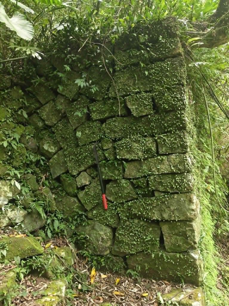
The overall collapse area of Jioufenshan is divided into slide and collapse of two phases. The current stone wall part poured down instantly after the 1999 Jiji earthquake happened (slope); and the slide at this location was delayed to occur at 3:00 a.m. The possible reason is that after the surface soil of the stone wall slid, a tension crack was produced in the rock mass center and gradually expanded due to the local lateral pressure of strata being relieved and thus the slide occurred eastwards along the bedding direction of dipping; and because of the blocking by the stable rock strata (east wing of the syncline) near Taipingjiao, some parts of footing were uplift; therefore, the collapse form belongs to rock slide and the part at the north side fell into Cukeng Creek on the north side of the watershed by way of overturning and rolling down.
Major Landslide Disaster
On September 21, 1999, during the devastating Jiji Earthquake (921 Earthquake), a massive landslide occurred on the southeastern slope of Kandou Mountain on the north side of Jiufen Ershan. The affected area covered approximately 195 ha, with a displaced volume of around 35 million cubic meters of earth and rock. Nearly 40 villagers were buried alive under the debris.
During the earthquake, a large-scale downslope movement occurred on the southeastern slope of Kandou Mountain, known as the “Jiufen Ershan Landslide.” The landslide depth ranged from 30 to 50 m. The earthquake caused the mountain’s height to drop by about 400 m and covered an area of 180 ha. A local deer farm was completely buried, over 200 deer were trapped and killed, and 14 households with a total of 39 people were buried; 21 of them are still missing today. The massive debris blocked the Jiucaihu and Sezai-Keng river valleys, forming two natural landslide-dammed lakes at the northern foot of Jiufen Ershan, named Sezai-Keng Lake and Jiucaihu Lake.
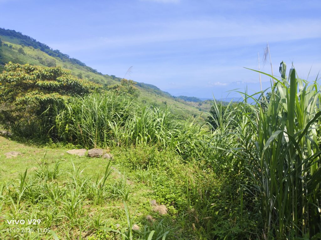
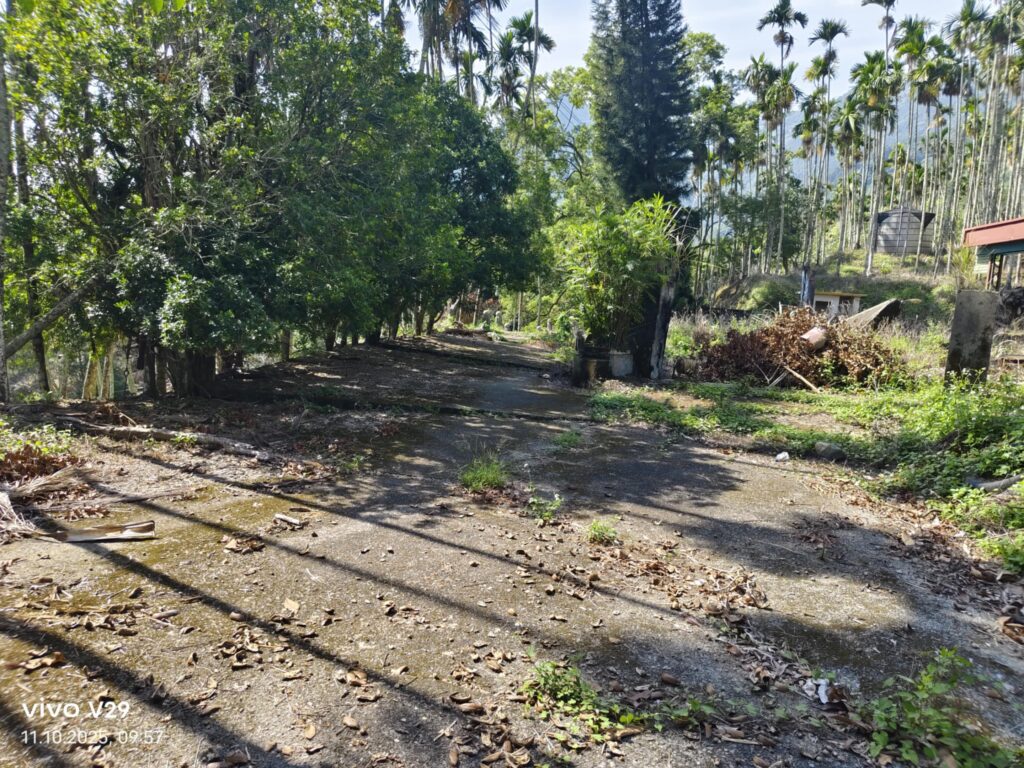
(the slope today, a few hundred meter away)
Survivors reported that on the night of the 921 Earthquake, before the ground shook, four to five loud explosive sounds were heard, followed by eerie howls from the mountain. After the strong quake, the entire village vanished. On Sezai-Keng Mountain, 14 households were buried in the landslide, with 39 people dying or disappearing during the mountain collapse. Some houses slid almost a kilometer from the summit to the valley but were fortunately not engulfed by the debris. Earthquakes are frightening experiences, even when one lives in the relatively safe north. Seconds before, dogs become nervous and start barking—they seem to sense the foreshocks. The ground moves in a way that initially makes one feel uneasy or dizzy. Anyone experiencing an earthquake for the first time instinctively wants to run away, which would be a big mistake in a city.
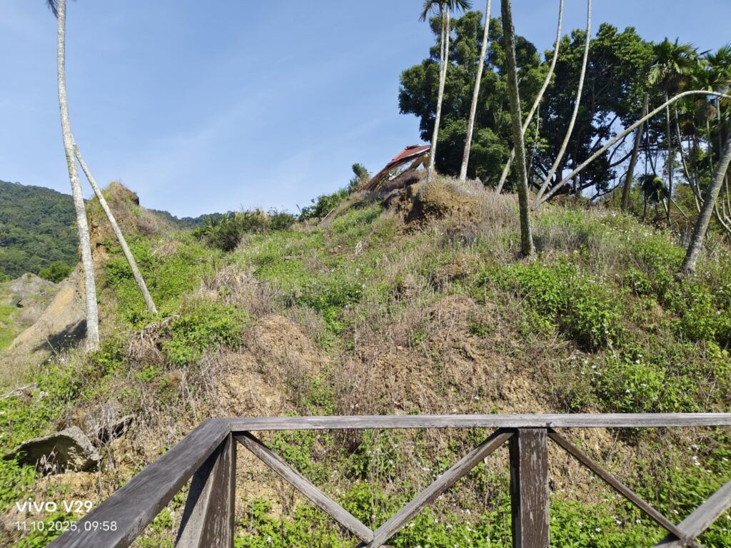
Today
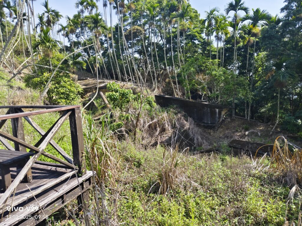
After the earthquake, the terrain and landscape of Jiufen Ershan changed dramatically. The mountain has since become an important teaching site for earthquakes in Taiwan. The National 921 Earthquake Memorial Area, designated by the post-disaster reconstruction committee, includes the Jiufen Ershan landslide area, preserving unique natural and man-made features created by the earthquake, such as tilted houses, landslide-dammed lakes, and other landslide landscapes.
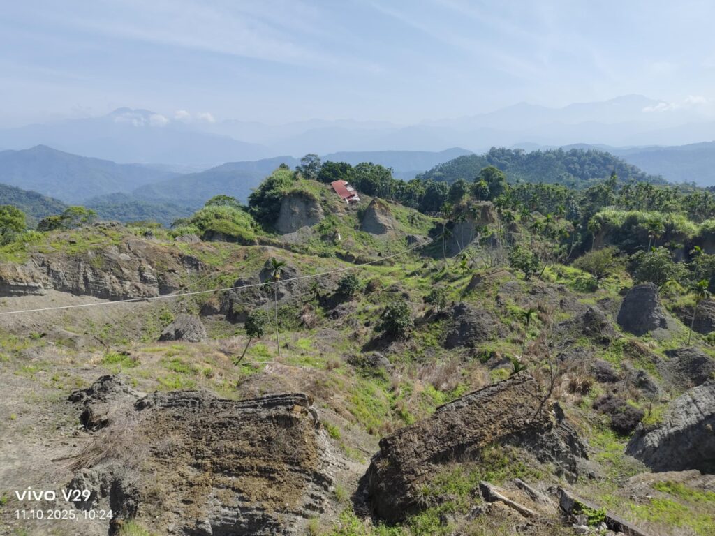
(Picture from above: a nice elderly lady, over 70 years old, lives here and can explain a lot about the earthquake.)
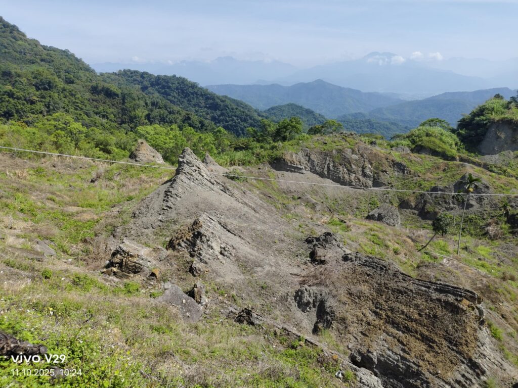
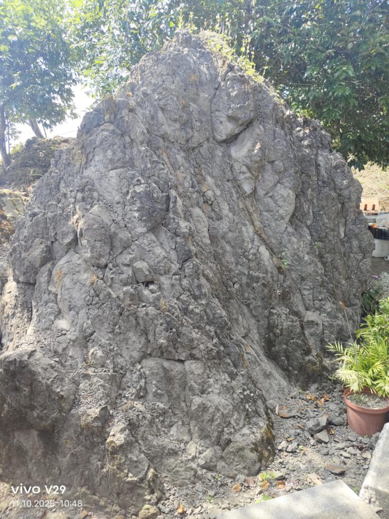
It is still striking that even after 26 years, nothing grows here. This is because deep, underlying rock layers were lifted up and now lie exposed at the surface. In the past, there were deeper ravines and valleys, but over time, they have gradually disappeared. The field still feels dead and desolate — unusual in Taiwan, where lush grass usually covers everything within weeks. Is nature trying to warn us?
According to Taiwanese custom, families must recover the bodies of lost relatives to give them a proper burial. The government deployed multiple excavators to search for the missing. The life cycle of a Taiwanese person, according to traditional belief, can only truly end once their body has been buried. The thought that family members might still be living somewhere is therefore particularly distressing.
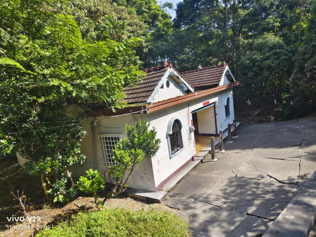
Slanted House
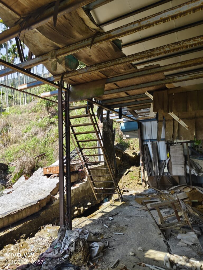
This house has not been destroyed by the earthquake and inclines from east to west. It was owned by a Zhu’s family before. There used to be a flat ground behind the house where a small hill was piled up due to the Kandoushan mountain slides and the ground cracked and the house inclined as a result of mountain change under the pressure of the strata. It is therefore known as the Slanted House. Because of the visual effect and brain balance mechanism, people would feel dizzy and groggy once into the house. And out of the safety concern for the public visiting the house, the Soil and Water Conservation Bureau has also reinforced the structure. We spoke with a former resident, now around 50 years old, who sells drinks, food, and ice cream in front of the house on weekends.
No matter how hard I search, there are no pictures showing what it looked like in the past. Of course, this is because in 1999, little had been digitized. The area was also economically and touristically insignificant at the time. Private photos have been lost or buried.
Some pictures shortly after the earthquake: